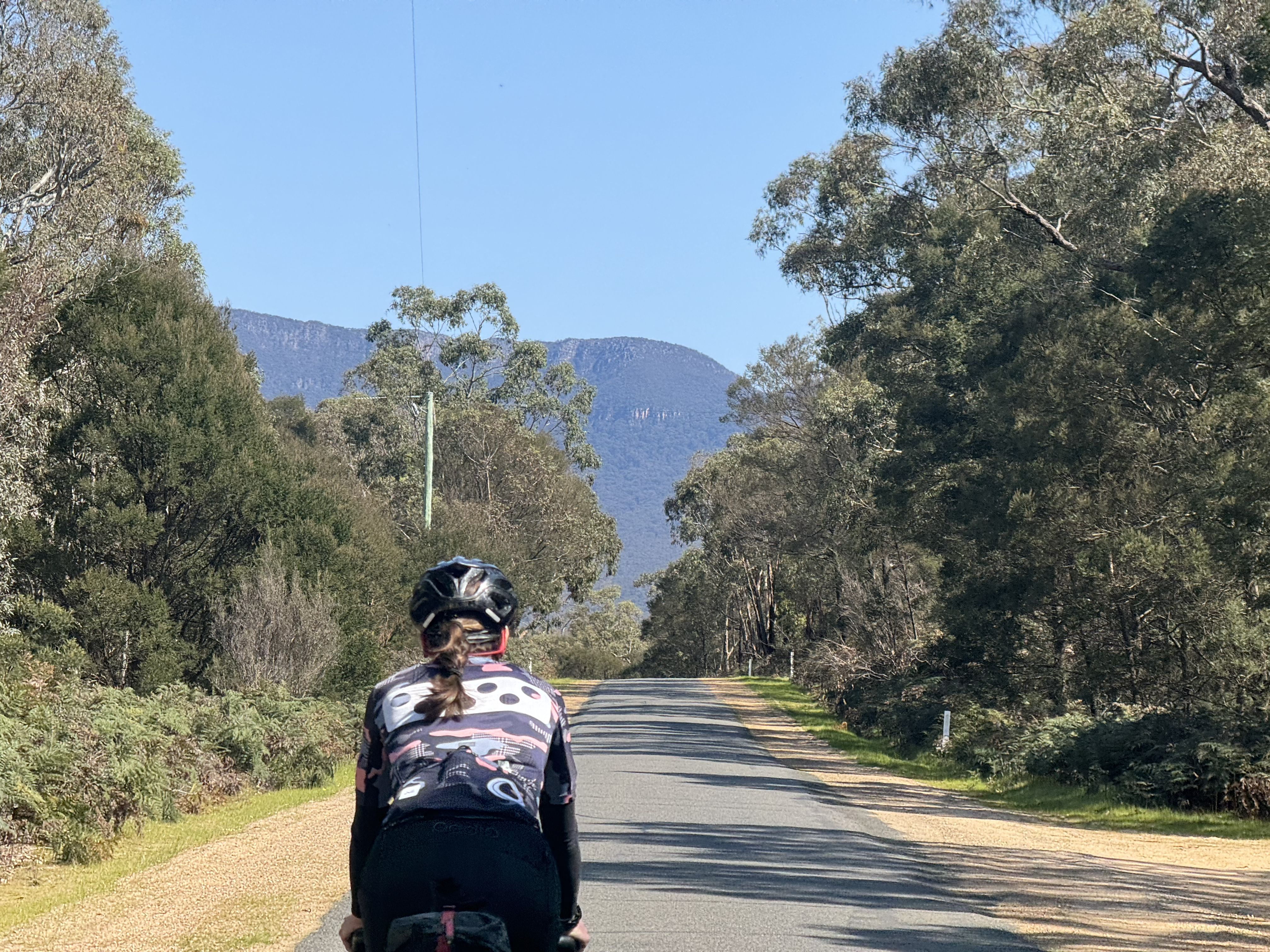
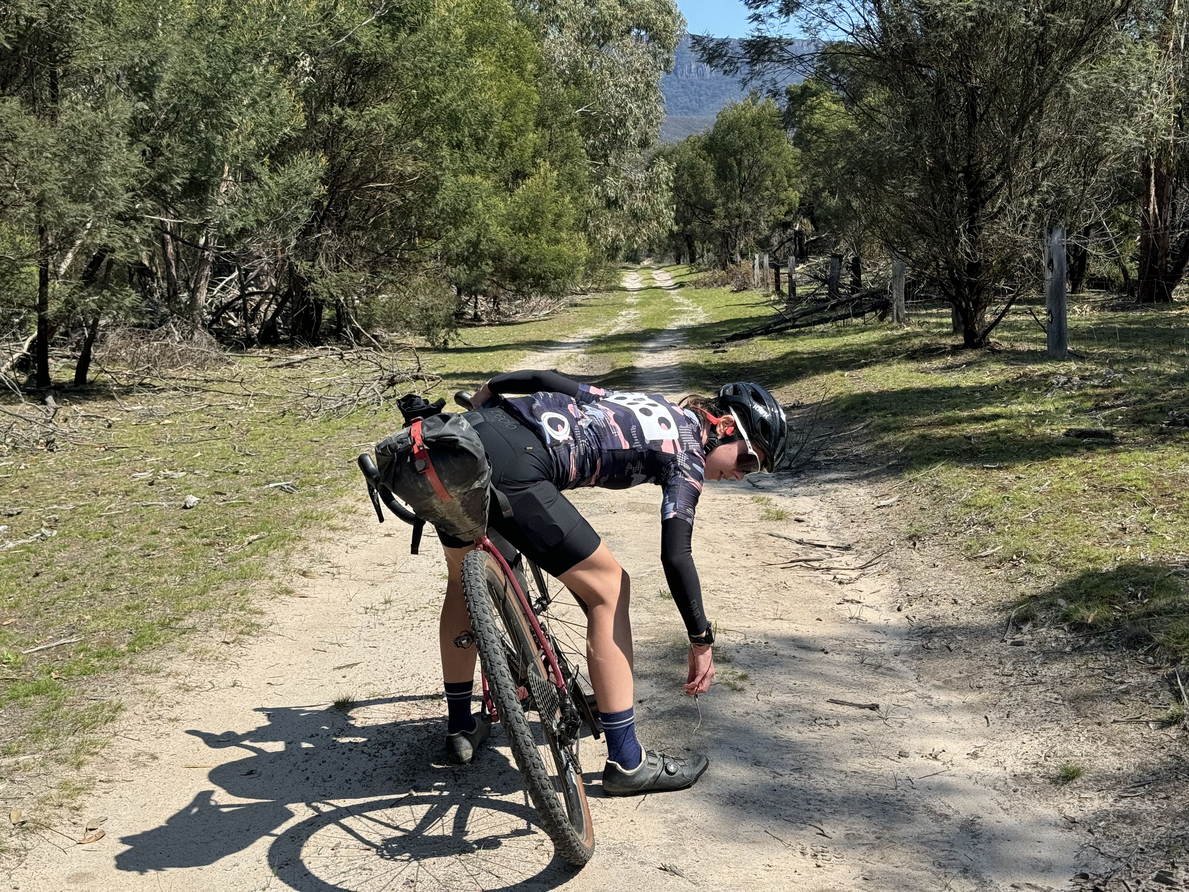
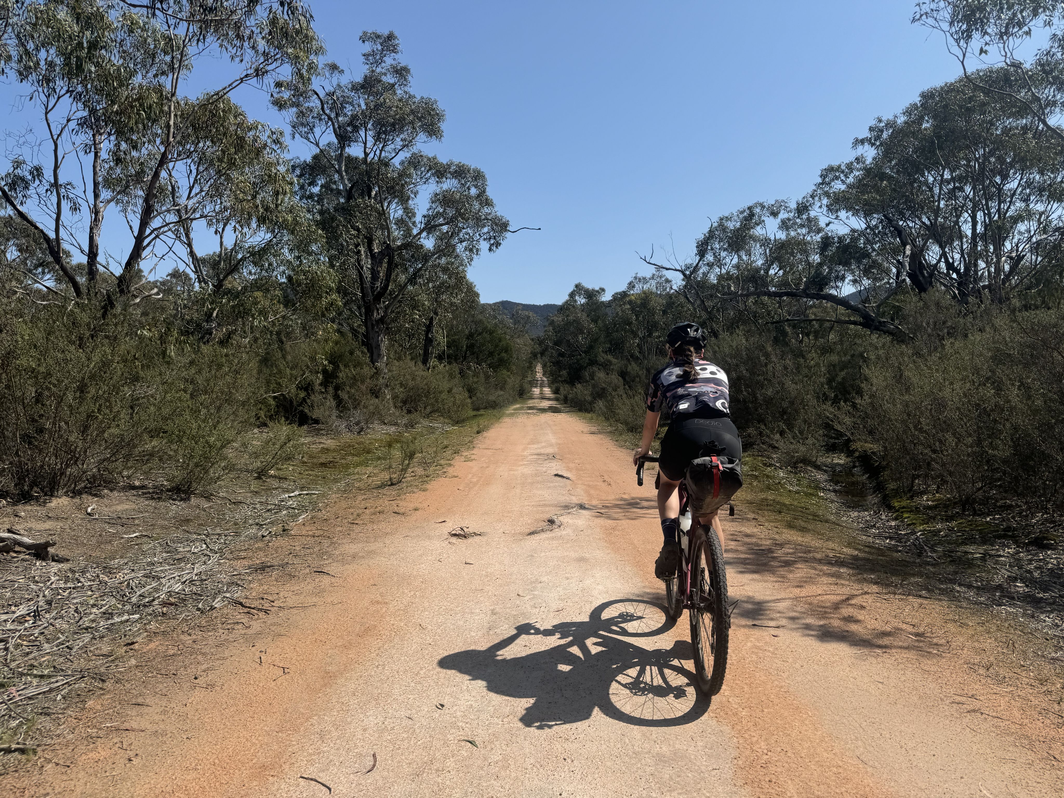
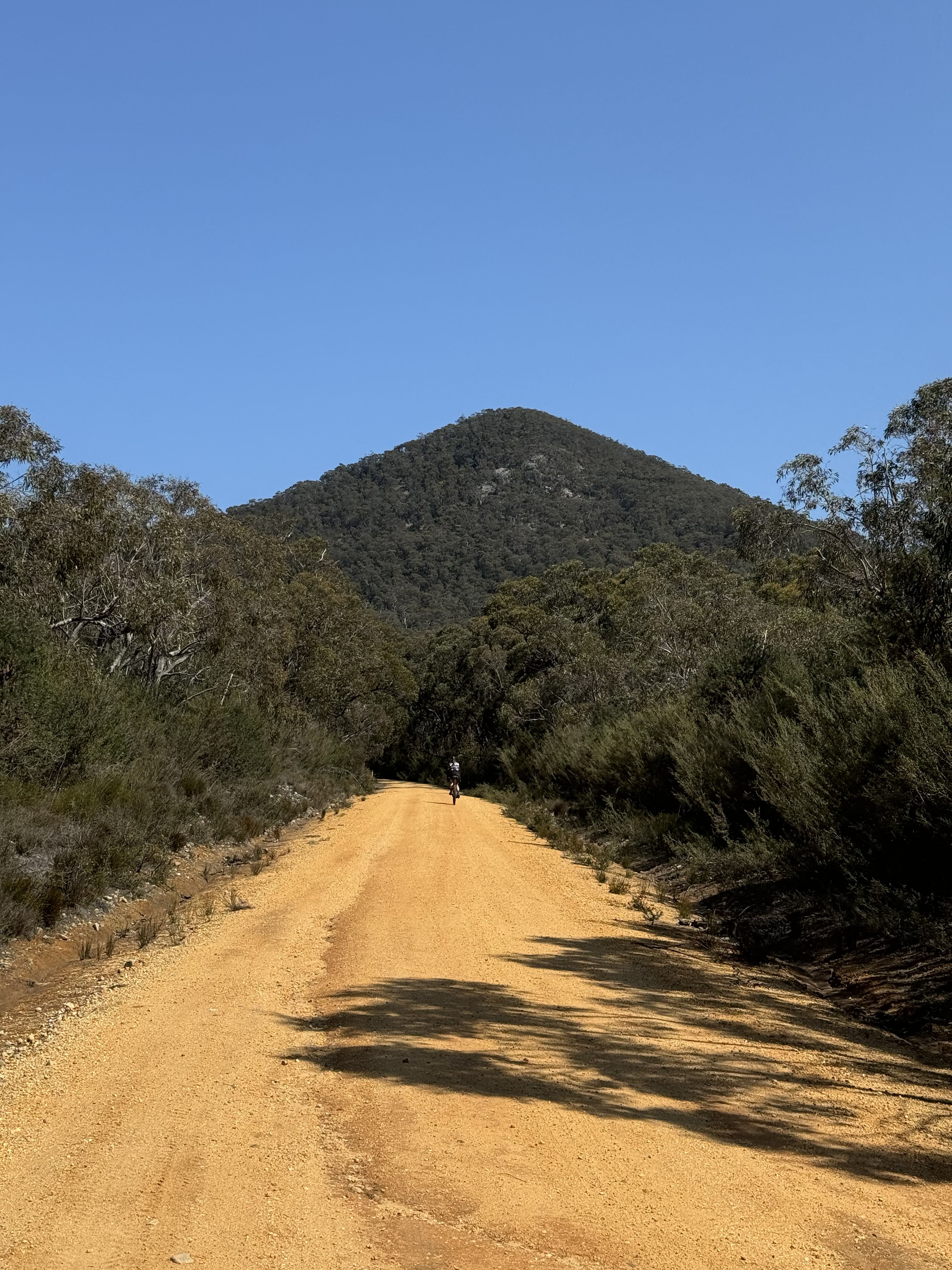
Gariwerd Explorer
An off-road bikepacking journey through Grampians National Park.
THE GARIWERD EXPLORER
GRAMPIANS NATIONAL PARK
View map for GPS positioned images (desktop only), campsites, re-supply and more..
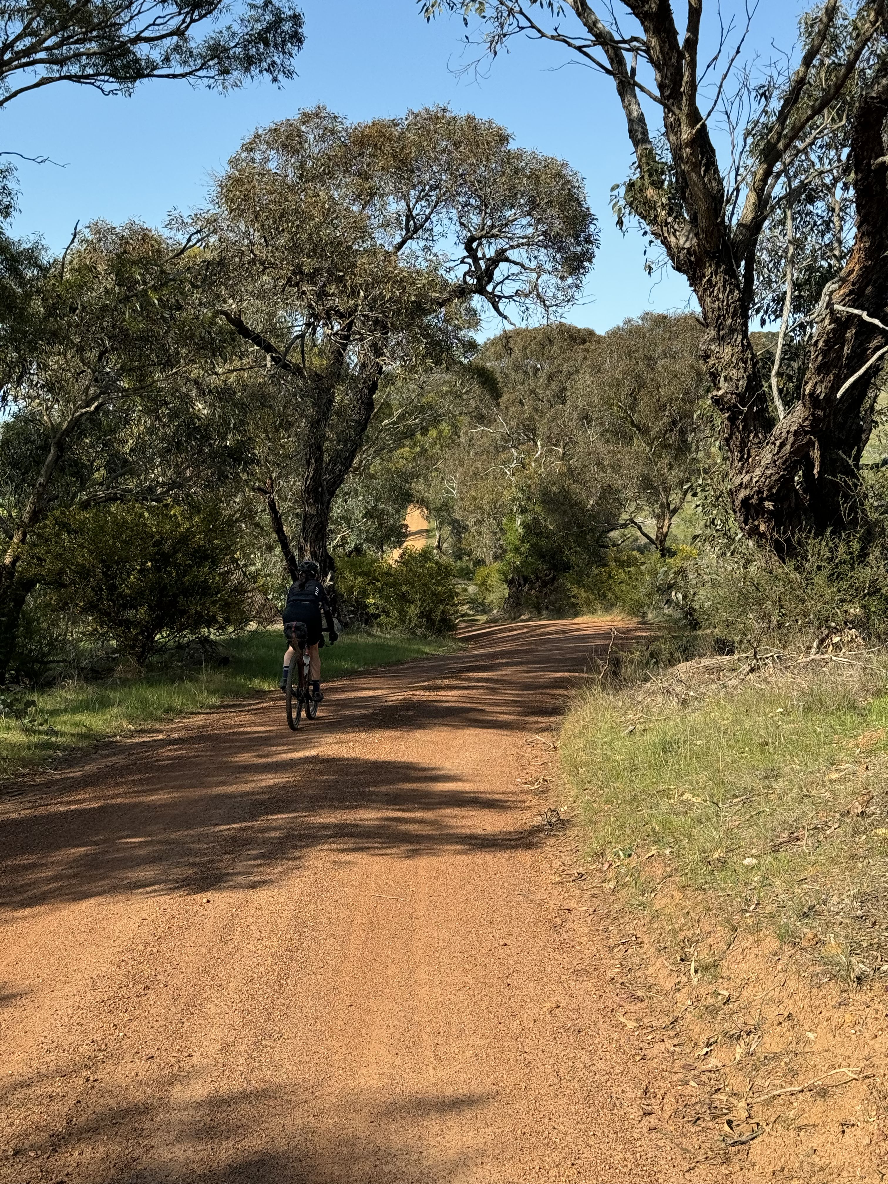
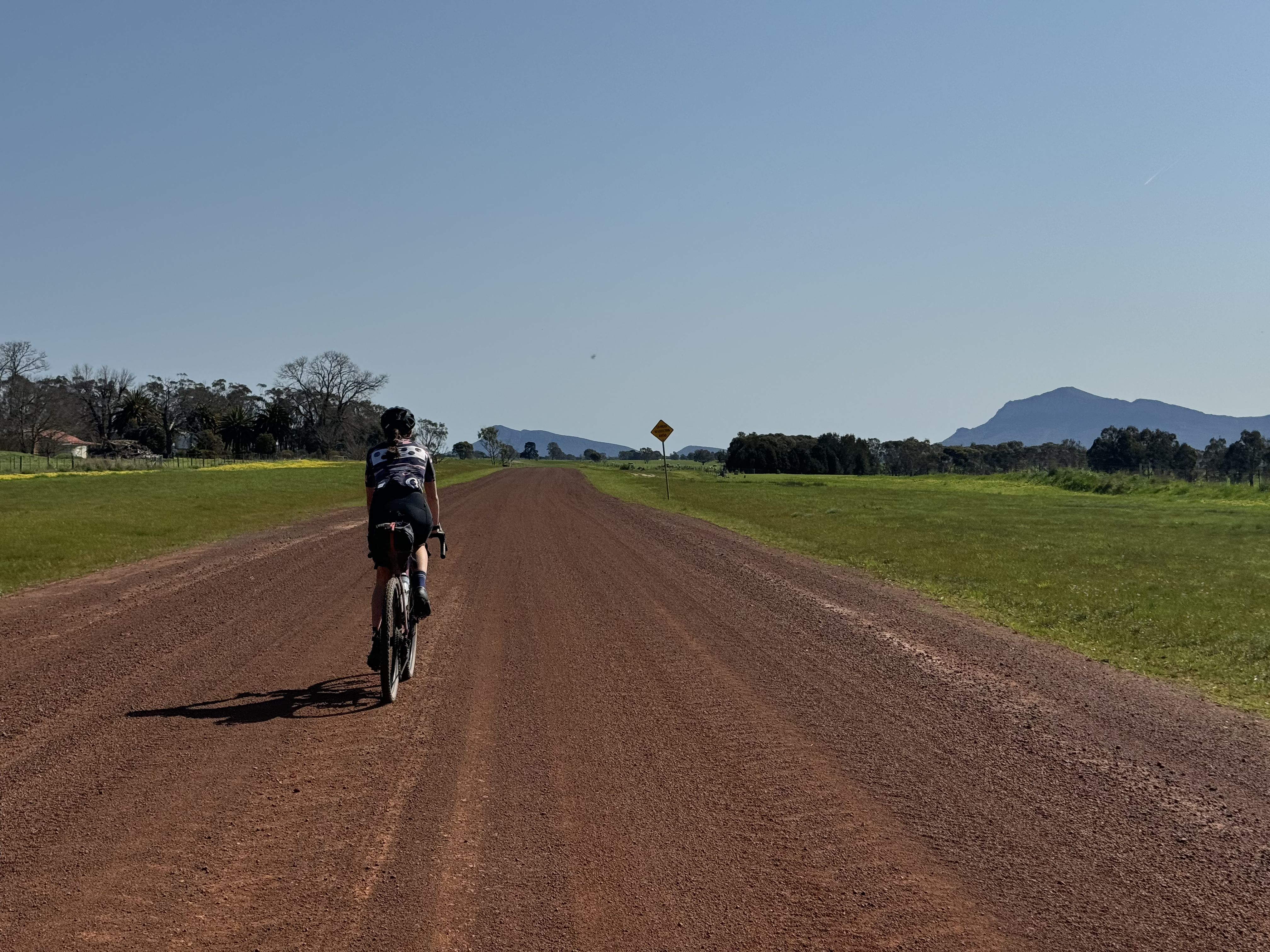
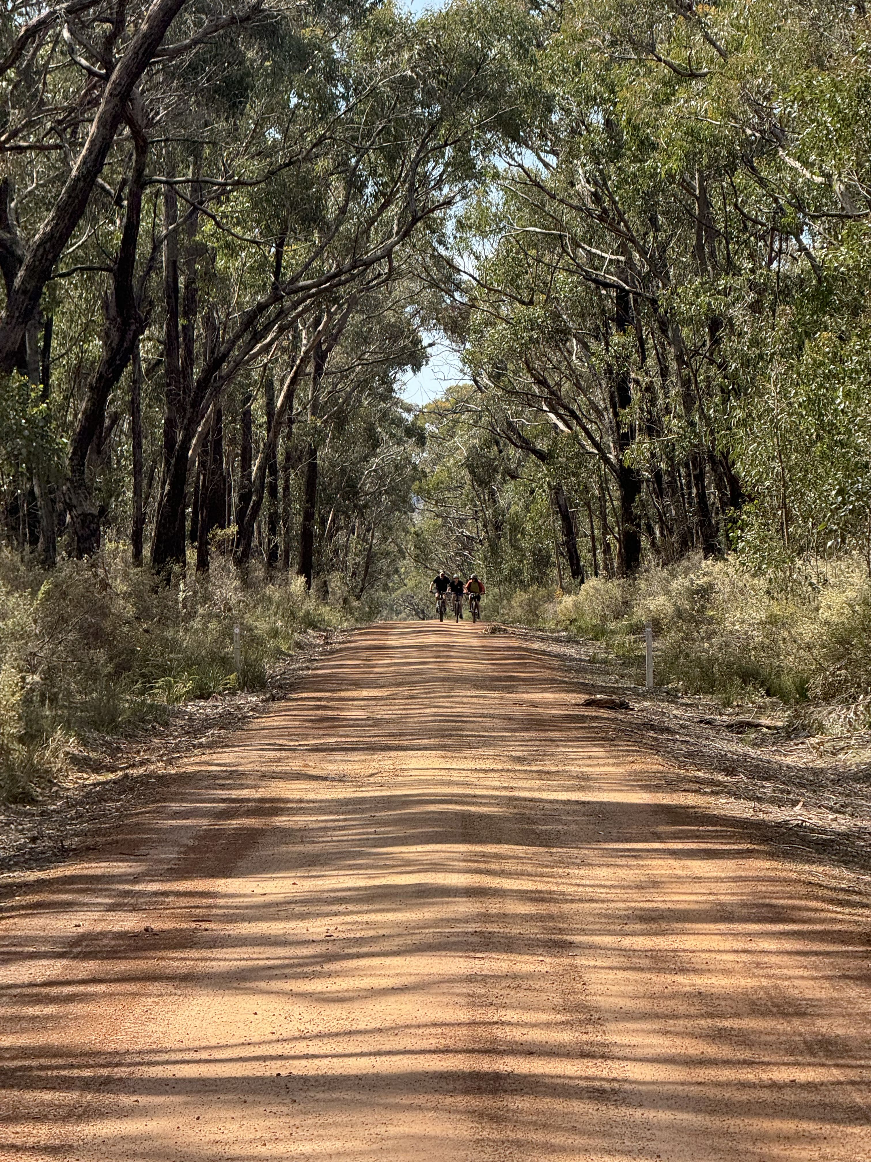
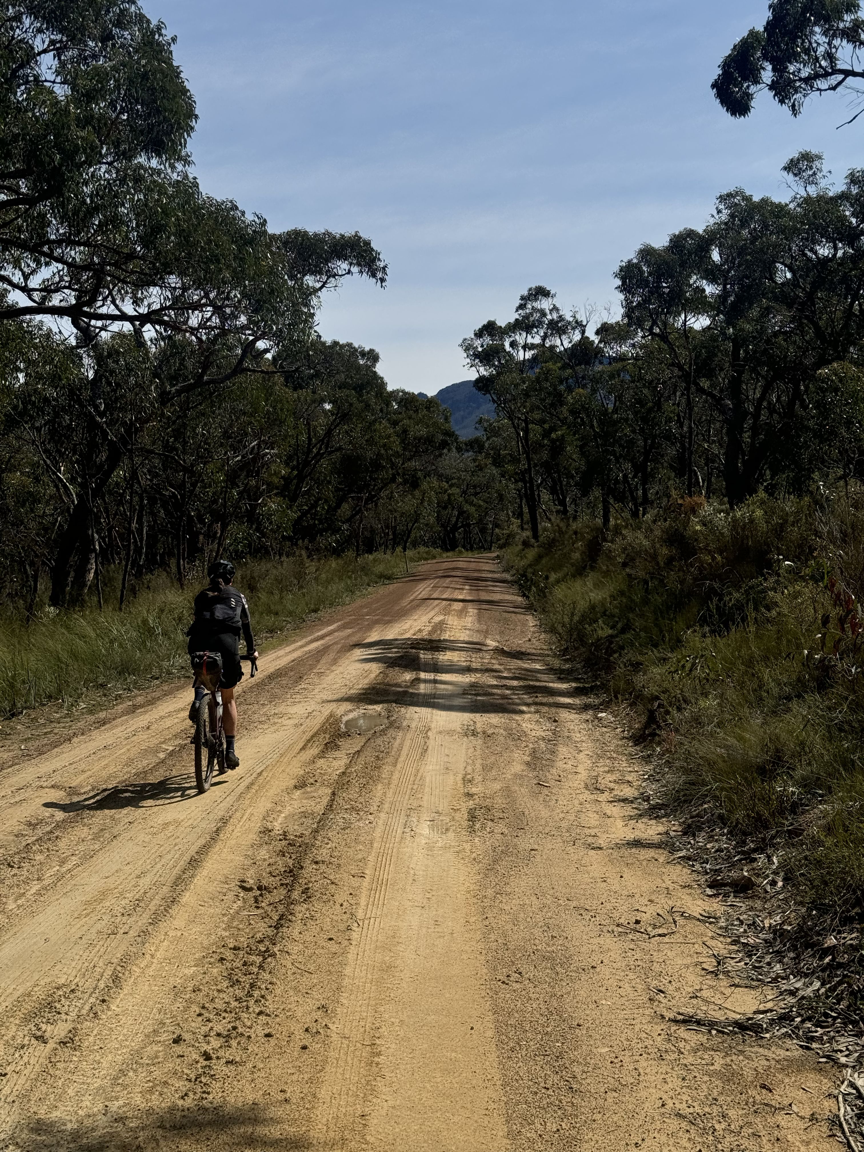
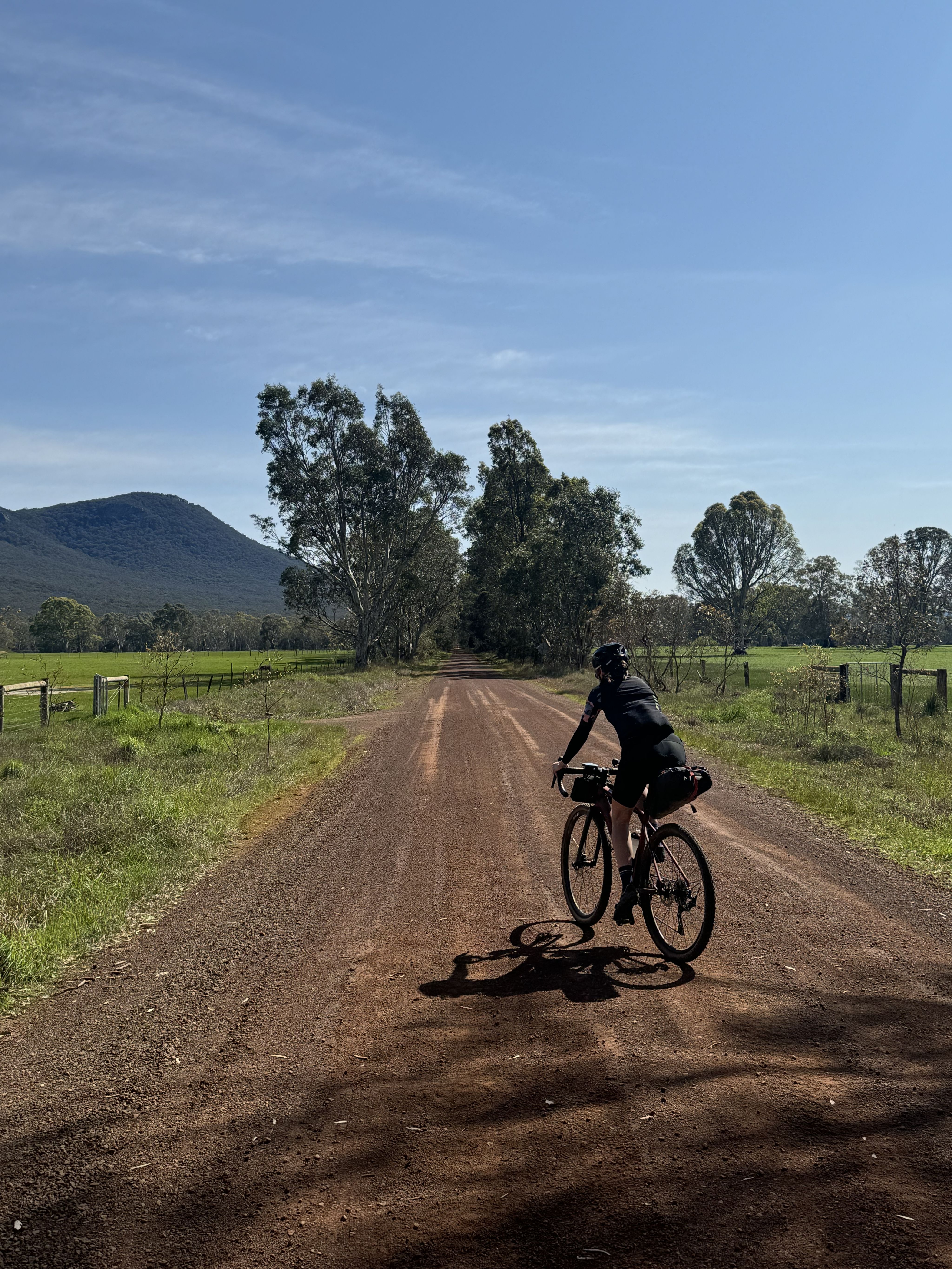
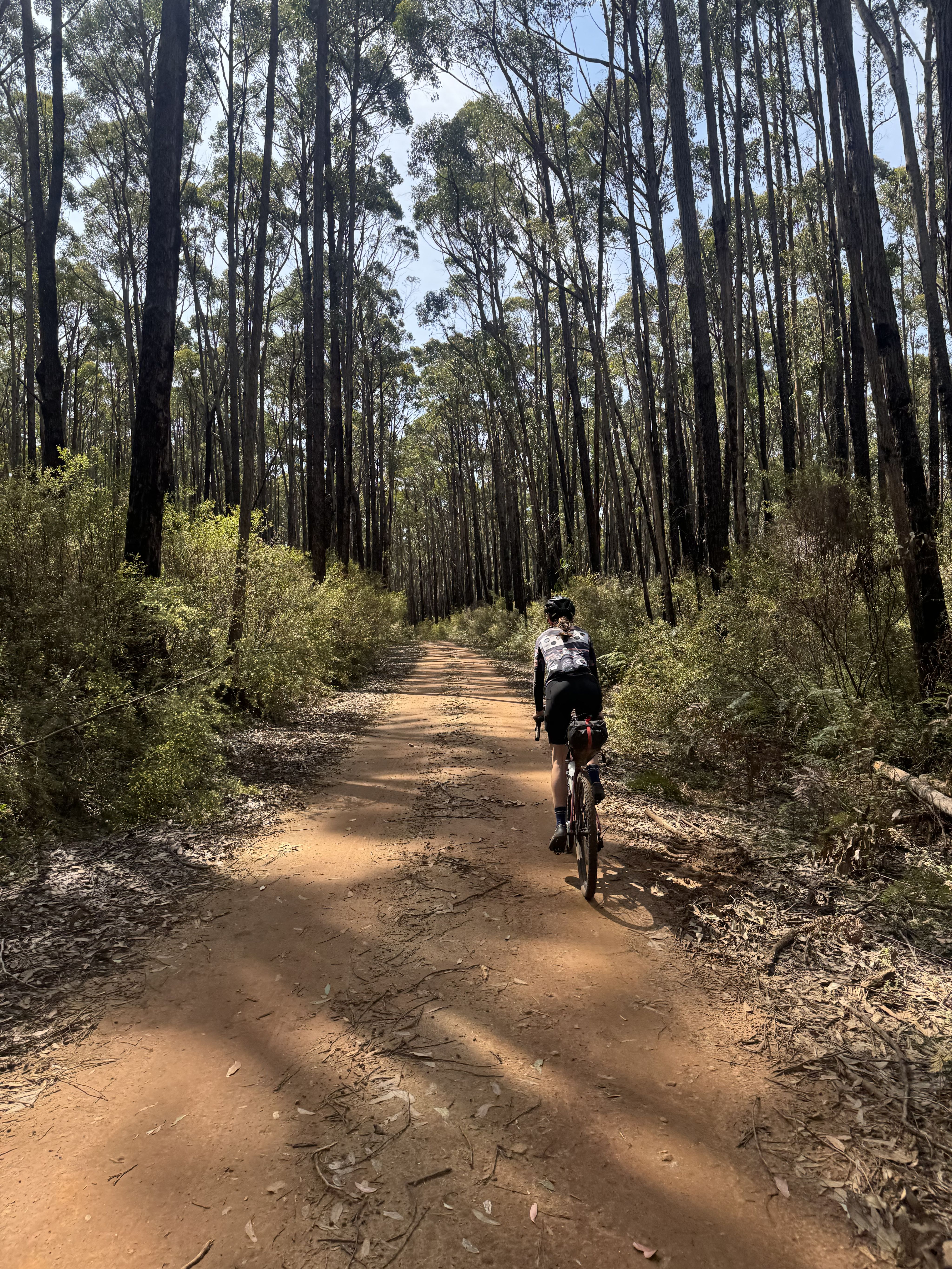
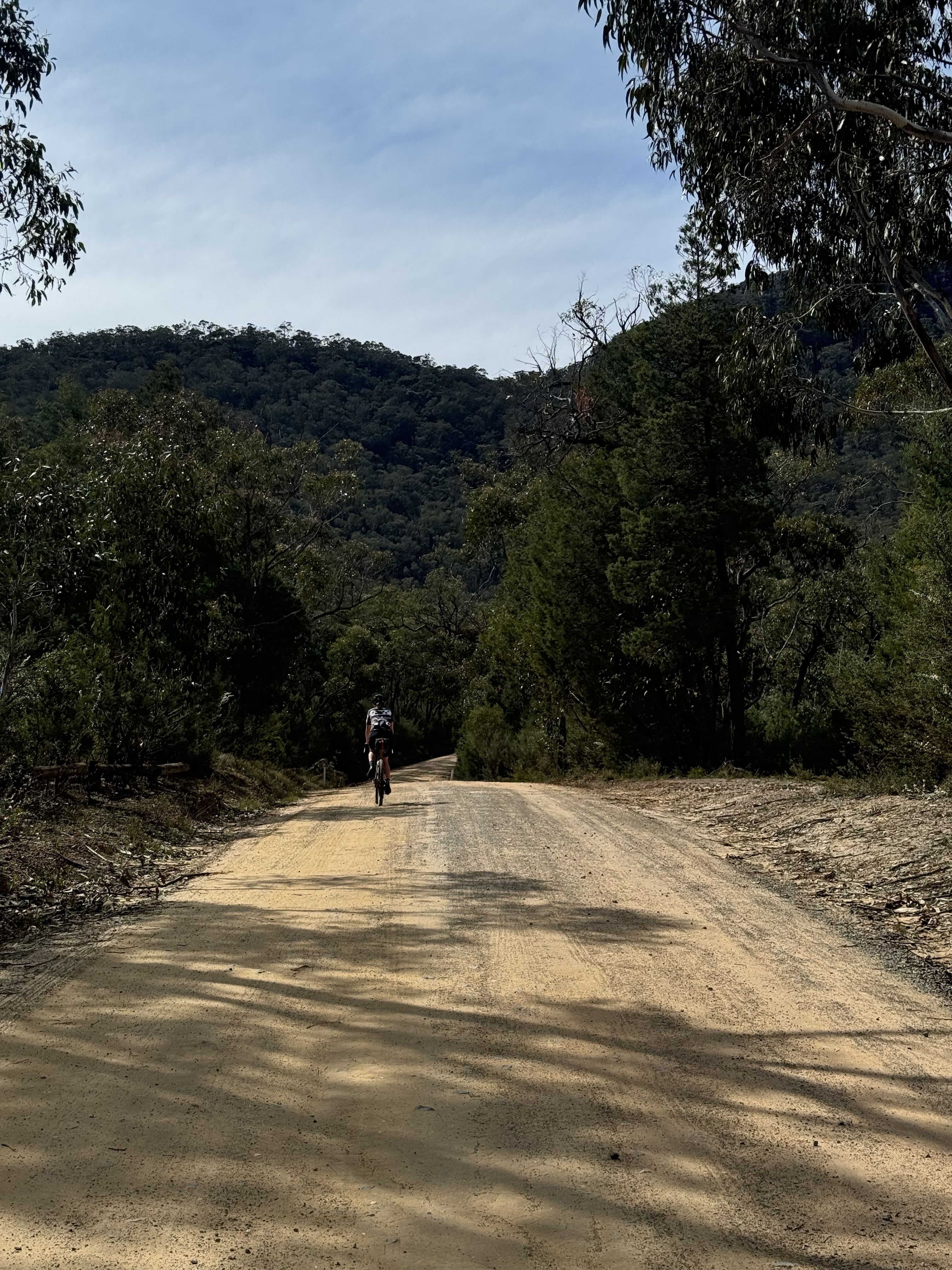
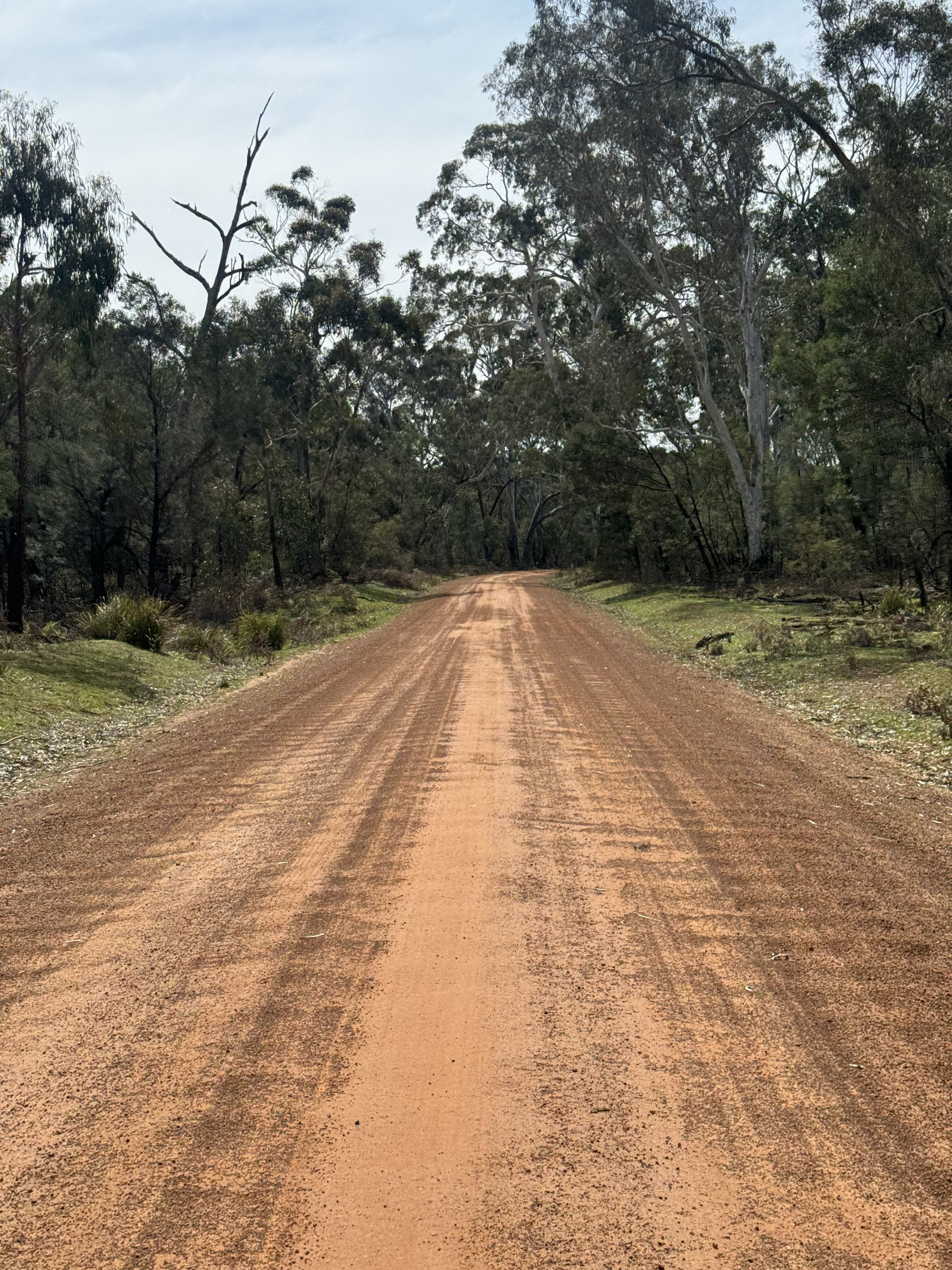
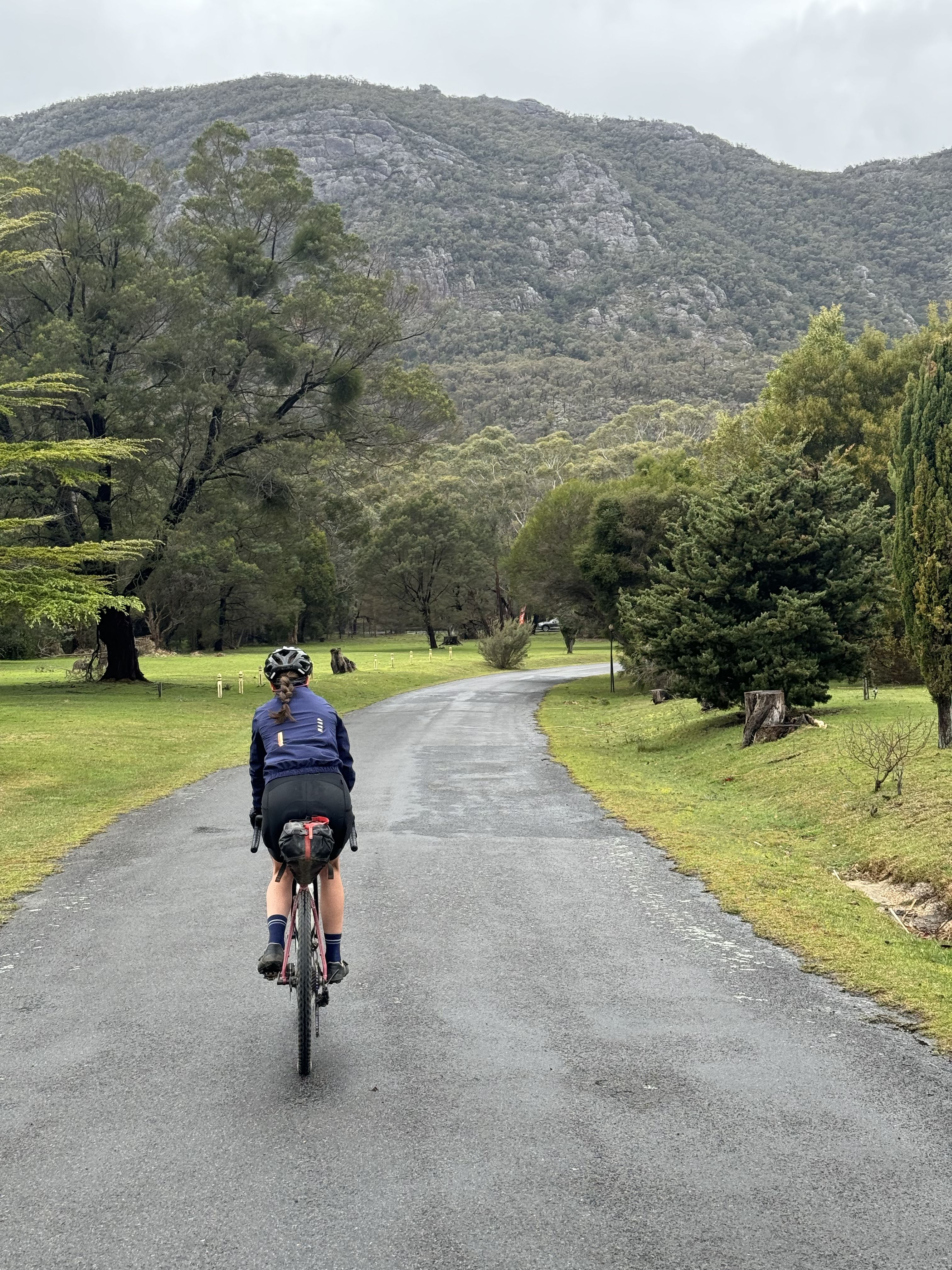
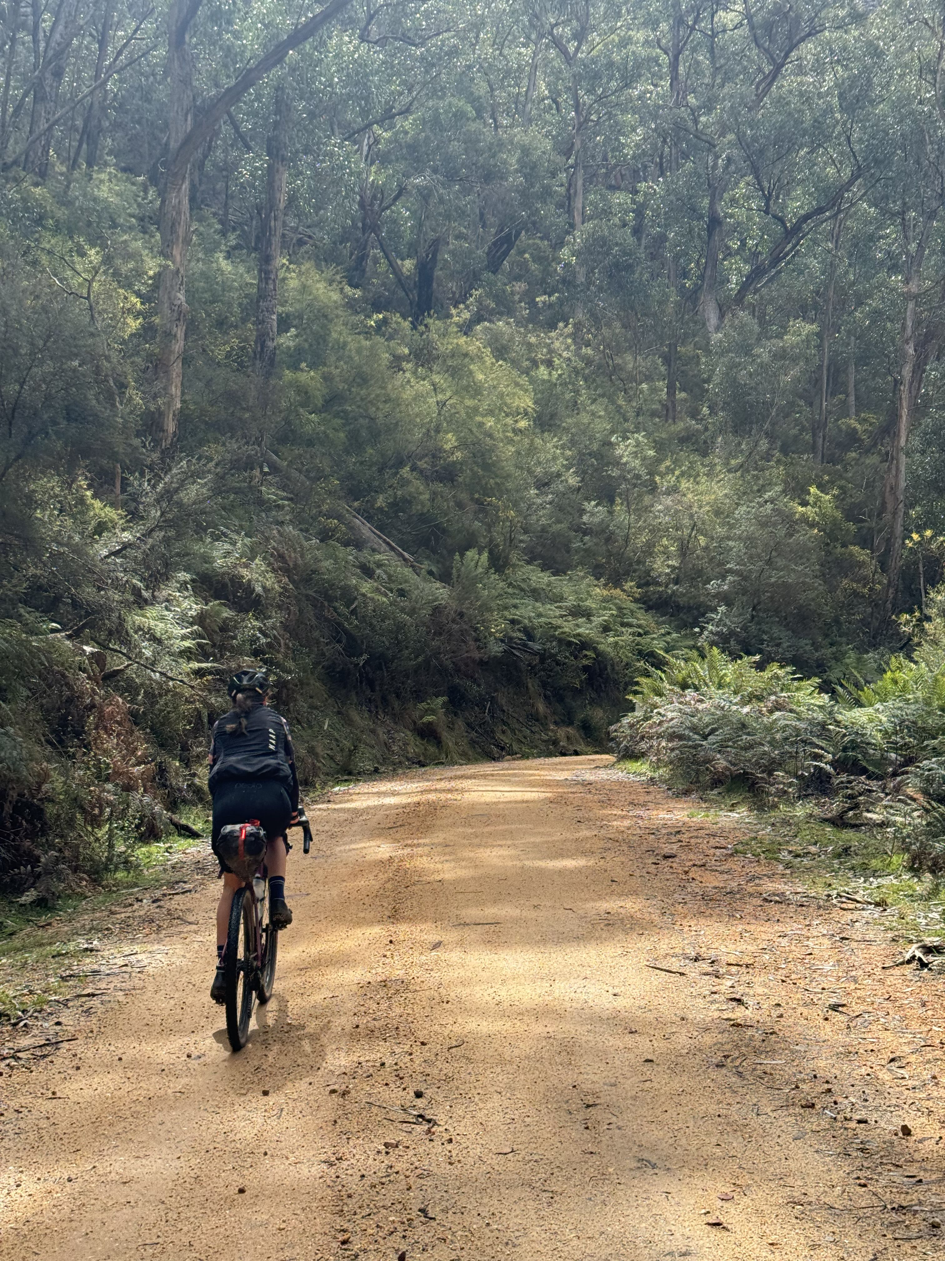
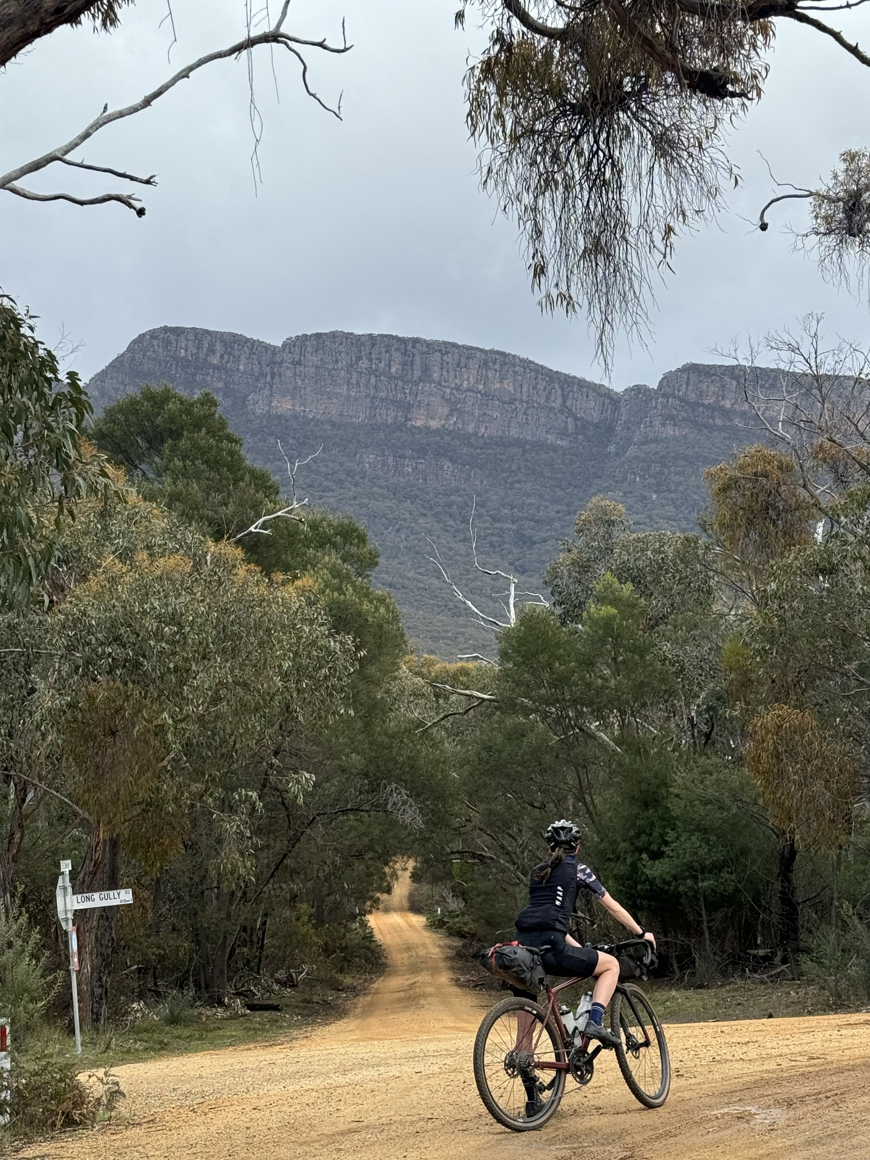
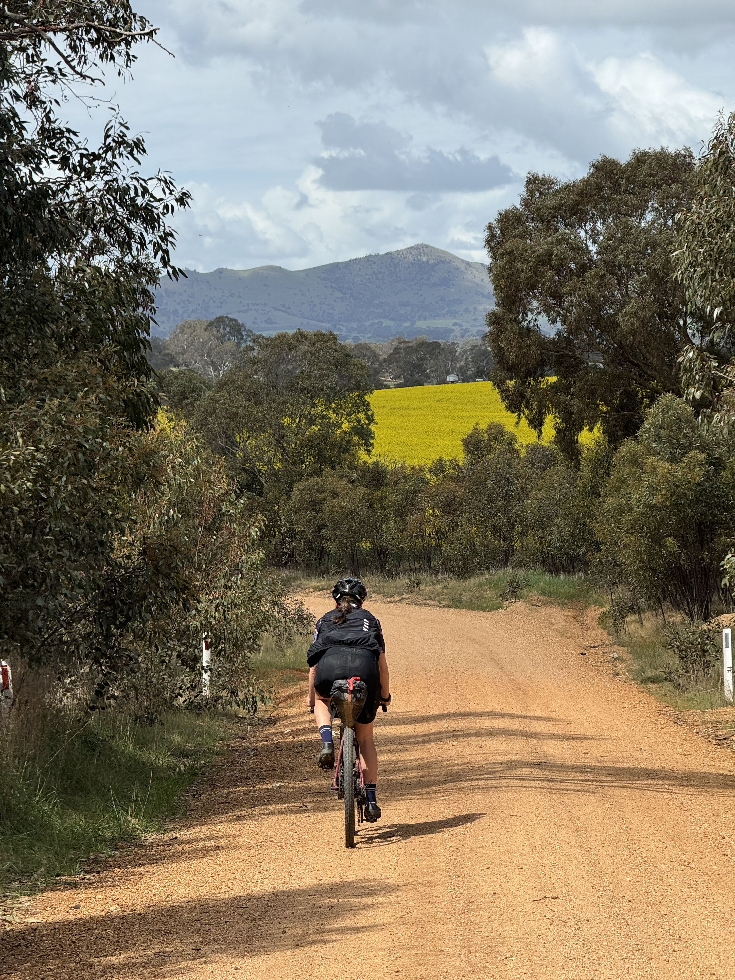
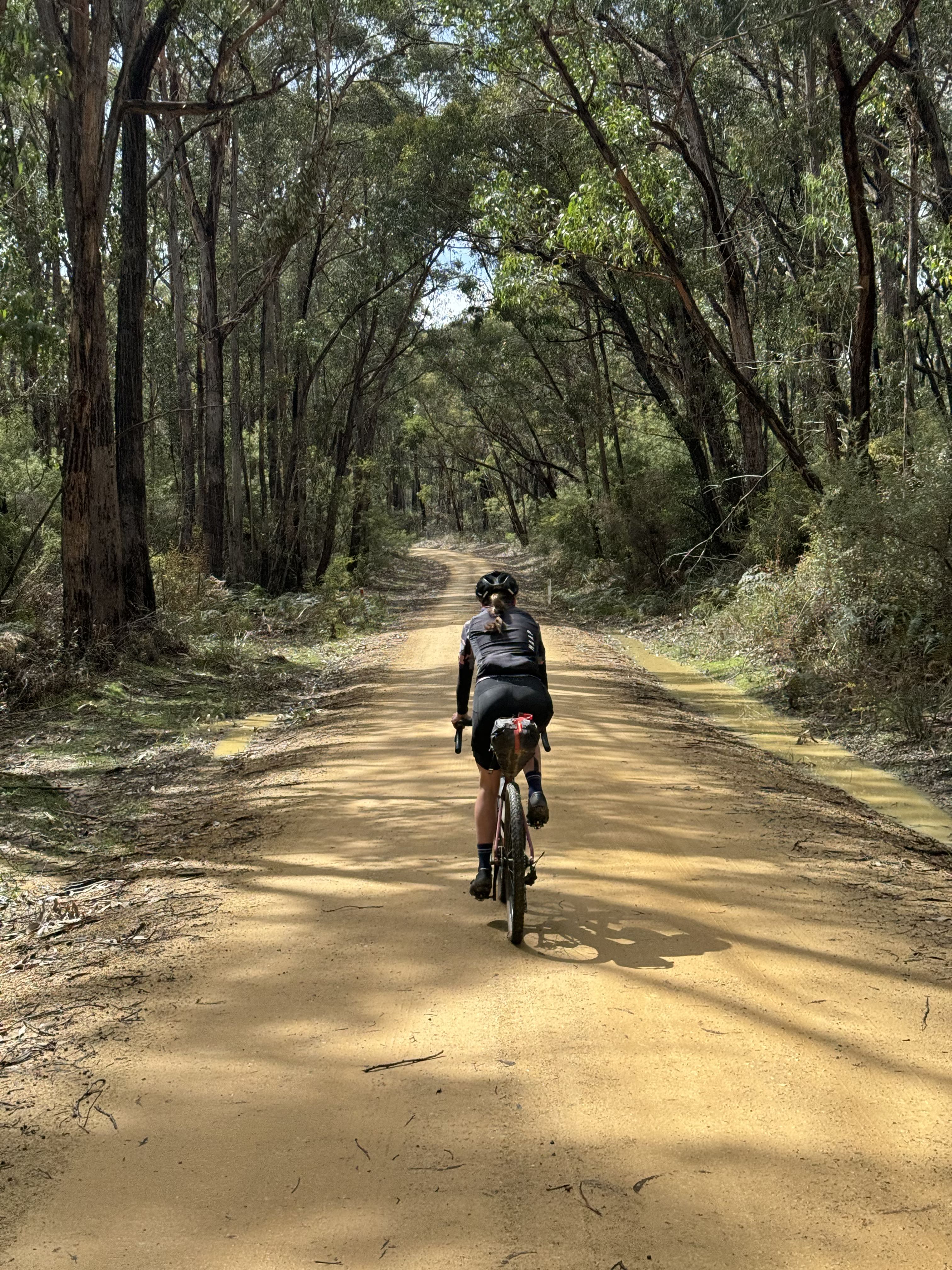
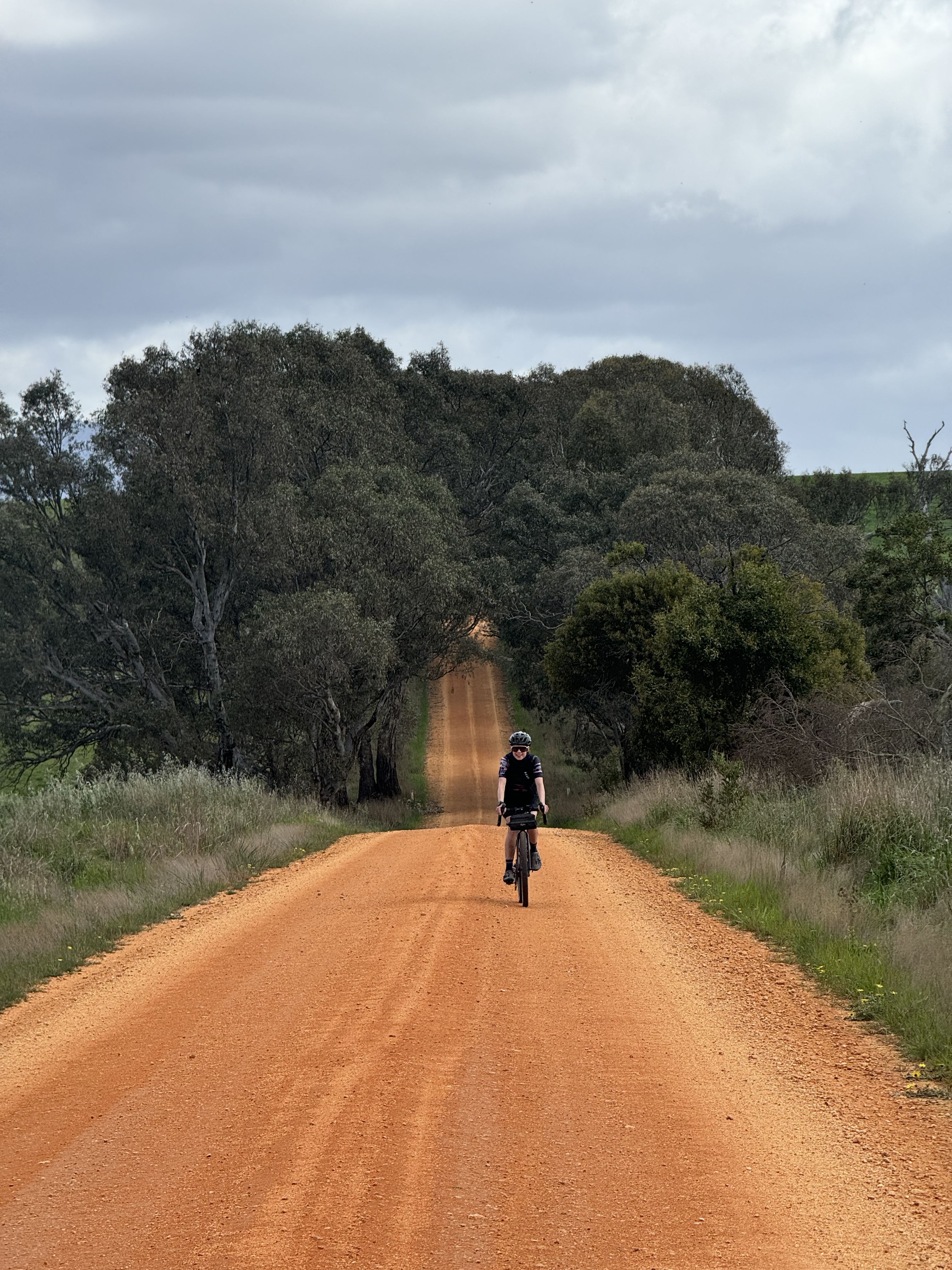
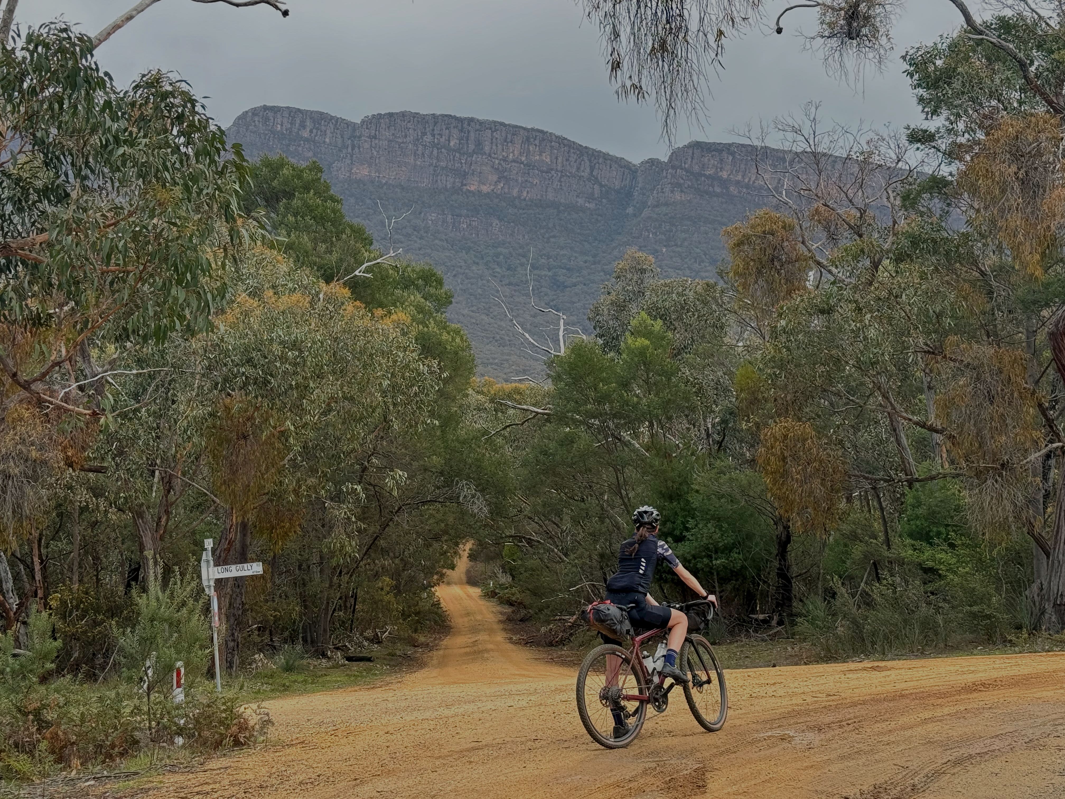
Gariwerd Explorer is mapped for a non-technical bikepacking (or flash-packing) experience through the Grampians on scenic, fast-flowing, gravel roads achievable on a gravel bike without suspension on anything upwards of 38mm tyres.
3 days is a good amount of time to complete the route with 97km from Ararat to Dunkeld, a further 88km into Halls Gap and then a shorter 52km back into Ararat. Expect around 1000m in elevation over the first two days and 750m for the third.
For those on a time schedule, you could certainly complete the route over two days with a large push on either day 1 or 2.
For those looking to take things a little more gentle, you can find Jimmy Creek Campground a few km's of-course from the 47km mark at Jimmy Creek Rd. There is also Strachans Campground, 38km after Dunkeld and Boreang Campground, a further 30km towards Halls Gap.
100% of the route is ridable, with approximately 70% of the route being on gravel or unpaved. You will find a few short km's of busier roads, mainly around Halls Gap.
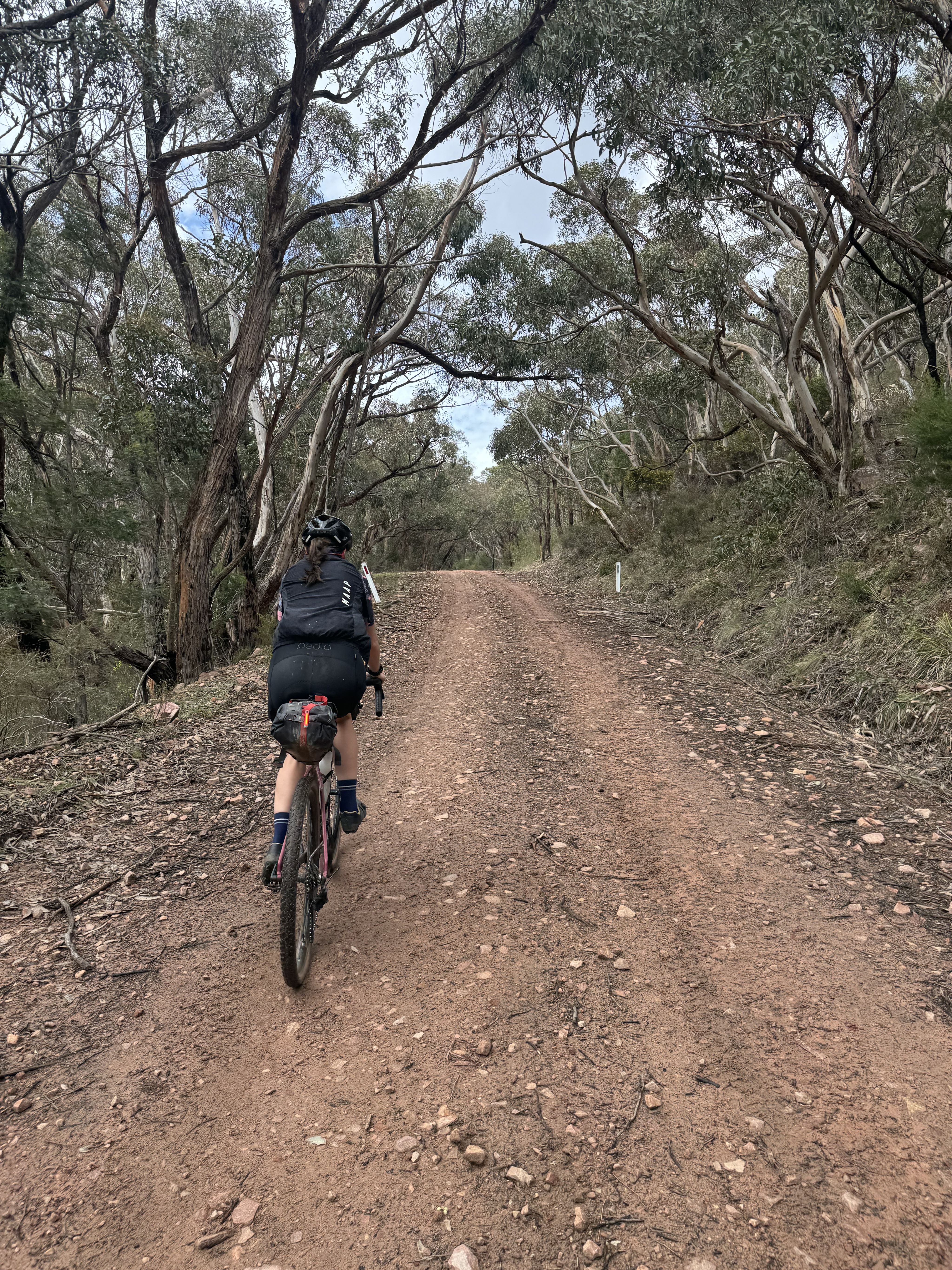
There is one challenging climb on each section of the route, all around 5km in length (give or take), each involving steep grades. Without low gearing, there may be sections you choose to walk.
GETTING TO ARARAT
Ararat is approximately 2hrs & 30mins drive from Melbourne CBD.
Trains run from Melbourne to Ararat and vice versa, between 3 to 5 times a day, dependant on what day you are travelling and in which direction. The travel time is again roughly 2hrs & 30mins.
GEOLOGICAL HISTORY
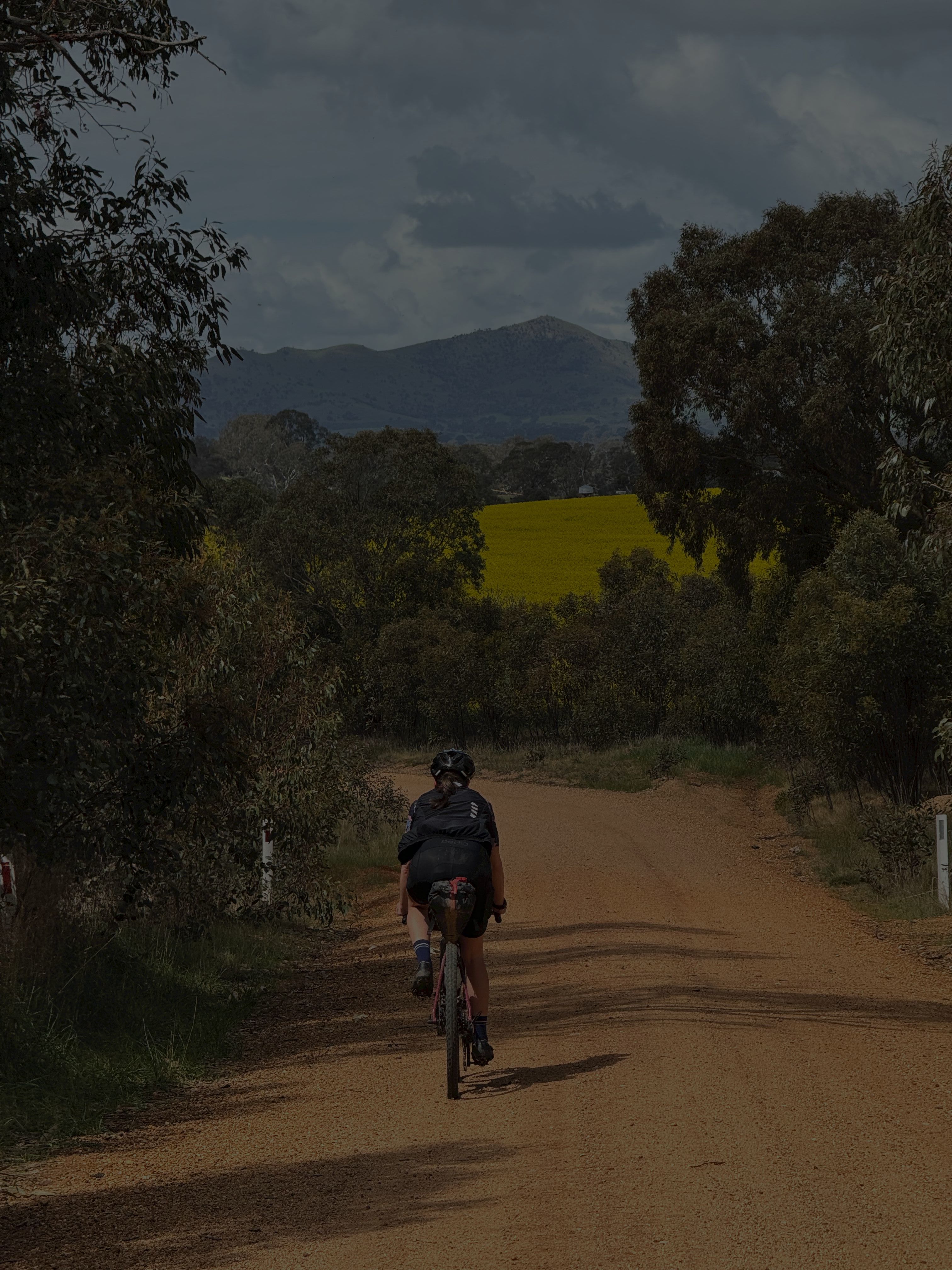
The Grampians, also known as Gariwerd in the local Aboriginal languages, have a rich history both in terms of natural formation and Aboriginal culture. Located in western Victoria, Australia, the Grampians (Gariwerd) are a series of rugged mountain ranges famous for their breathtaking landscapes, flora, fauna, and cultural significance.
The formation of the Grampians began around 400 million years ago, during the Devonian period.
The ranges were created by a combination of sediment deposition and tectonic activity. Originally, the area was a flat, shallow marine basin where layers of sandstone and siltstone were laid down. Over time, pressure from tectonic movements caused these sedimentary layers to buckle, fold, and rise, forming the striking ridges and valleys that characterize the Grampians today.
Erosion over millions of years has sculpted the landscape, creating the steep cliffs, rugged peaks, and deep gorges that are now visible. The ranges are composed mostly of sandstone, which contributes to the area's dramatic rock formations and makes it one of Victoria's most geologically significant regions.
INDIGENOUS HISTORY
The Grampians region is a place of deep spiritual and cultural significance to Aboriginal people, particularly the Djab Wurrung and Jardwadjali peoples, who have inhabited the area for at least 22,000 years. These communities, who are part of the broader Koori nation, have long-standing ties to the land, which they refer to as Gariwerd.
According to Aboriginal creation stories, Gariwerd was shaped by ancestral spirits who created the landscape, its flora, fauna, and water sources. One of the central figures in these creation stories is Bunjil, the creator spirit often depicted as an eagle. Bunjil is said to have crafted the land and protected the people, teaching them how to live in harmony with their environment.
The rock formations and features of Gariwerd are often considered to be the physical manifestations of these ancestral beings. The mountains are more than just a geographical feature—they are a living part of the Aboriginal creation stories, carrying the spirits of the ancestors and embodying the cultural heritage of the local people.
FREQUENTLY ASKED QUESTIONS
BEST TIME TO RIDE
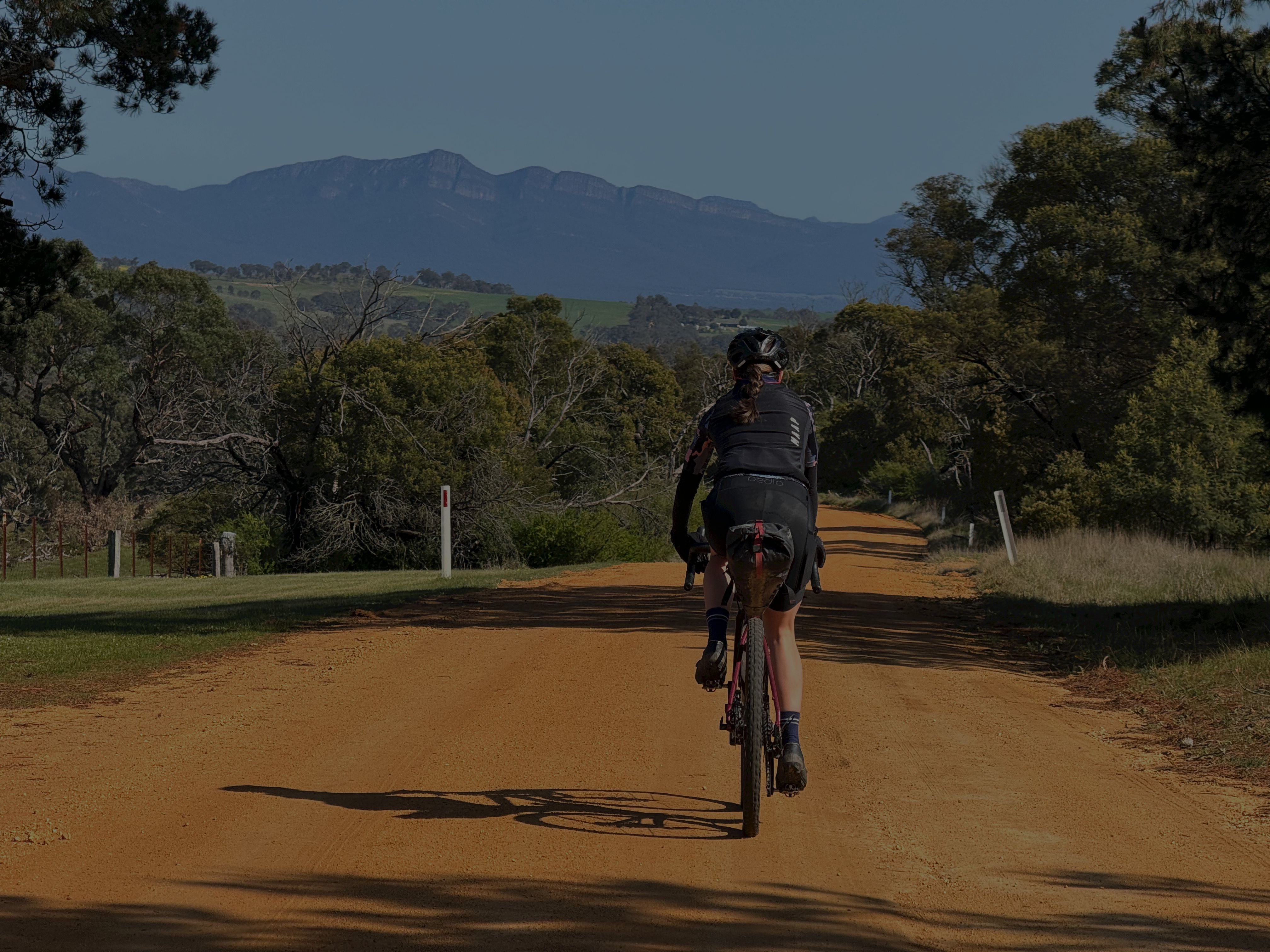
Spring is the optimal time to ride the Grampians. It can get very hot in the summer and into freezing temperatures during the winter.
Wild flowers (many unique to the area) are on show during the spring also.
WATER & SUPPLIES
Water between towns can get a little scarce.
We've marked on the map places where you can find water as well as all the towns for resupply.
Remember to treat all water you find on course including what you source from water tanks and streams.
Ararat to Dunkeld
Start Ararat - Large town with everything you could require
25km Moyston - General Store / Moyston Sports Grounds - Untreated tank water & toilets
40km Jimmy Creek Campground (off course a few kms) - Untreated tank water & toilets
44km Stream - Just after Mafeking Rd on Emmett Rd
97km Dunkeld - Cafes, restaurants, pharmacy, service station & bathrooms
Dunkeld to Halls Gap
38km Strachan Campground - Stream & toilets
70km Boreang Campground - Untreated tank water & toilets
88km Halls Gap - General Store, cafes, restaurants & toilets
Halls Gap to Ararat
4km Bellfield - Cafe & toilets
5km Lake Bellfield - Toilets
21km Grampians Paradise - Caravan park with all facilities
WHERE TO STAY
If you are planning to flash-pack, your only accomodation options will be in Ararat, Dunkeld & Halls Gap.
Book early, especially if you are planning over school holidays or a long weekend as accomodation books out fast!
All camping options are marked on the map.
SNAKES
There are snakes on course and you will most likely encounter them in some pretty remote areas. For this reason we recommend you carry snake bandages and a good spot tracker / emergency device.
PHONE RECEPTION
There are sections of the course where you will be without phone reception for hours at a time and there is very limited passing traffic.
A spot tracker / emergency device is a necessity as well as letting someone you know of where you will be and when you expect to arrive back.
LEAVE NO TRACE & RESPECT THE LAND
This goes without saying but this is pristine wilderness and a delicate eco-system. Take all your rubbish with you and stay on track.
Day 1: Ararat to Dunkeld
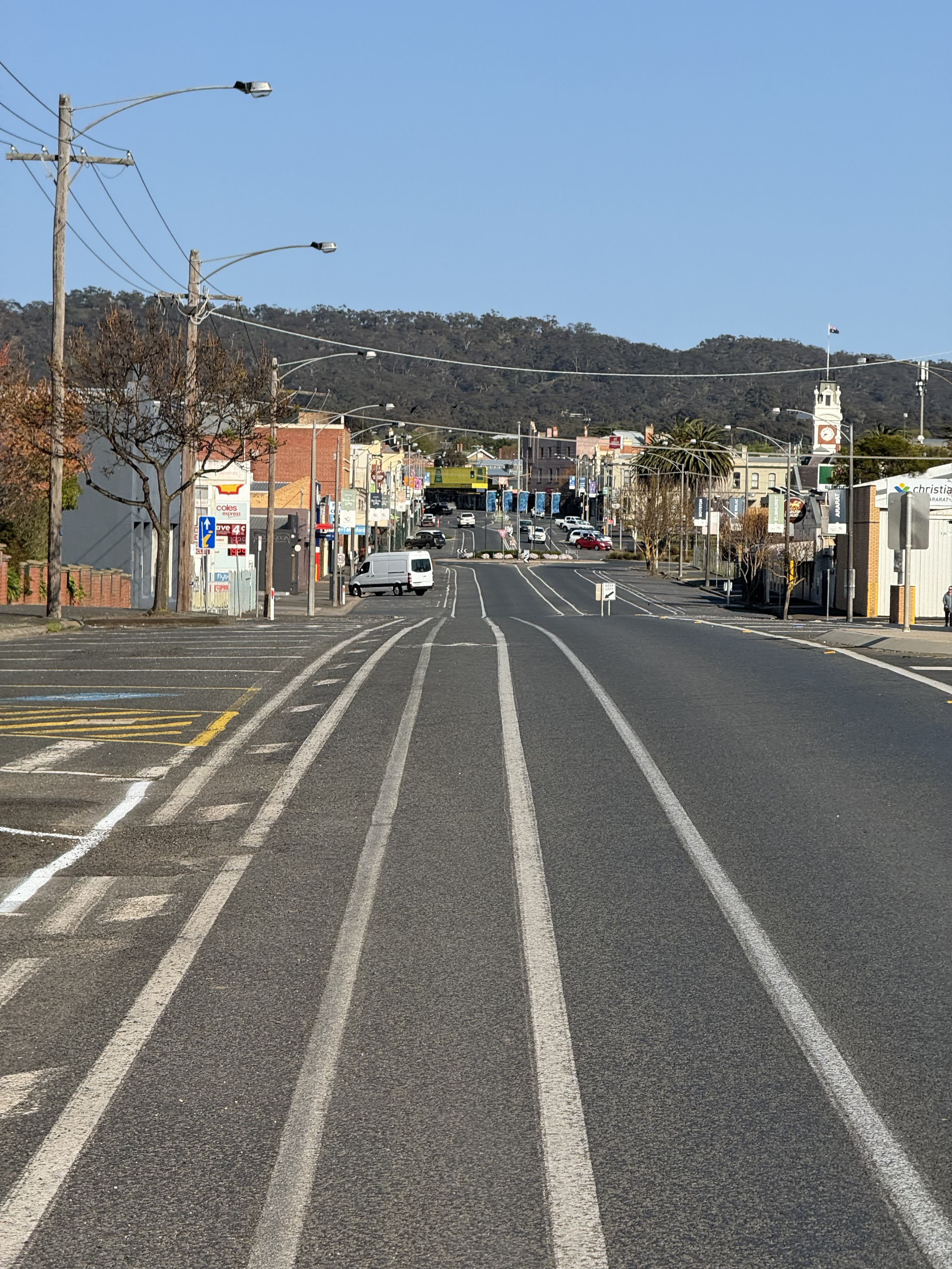
Ararat
We drove up on a Thursday night for the AFL grand final weekend and decided to stay the night in Ararat so that we could relax over a nice breakfast in the morning before setting off.
It turns out that Ararat plays a strategic role in freight transport as a major stopover town between Melbourne & Adelaide and if like us you choose to stay at the Ararat Motor Inn, bring ear plugs as this role becomes increasingly apparent through the night.
Ararat to Moyston
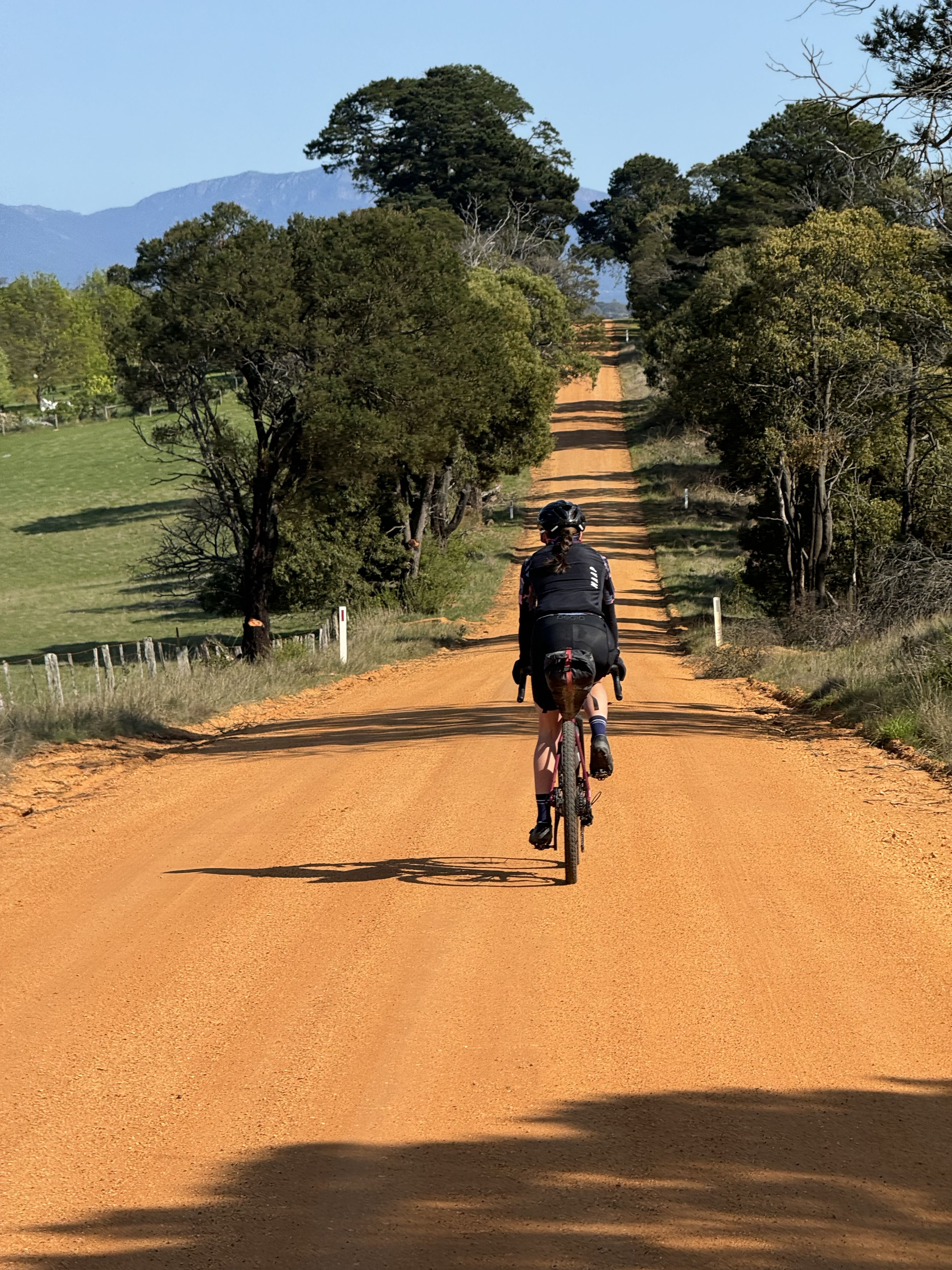
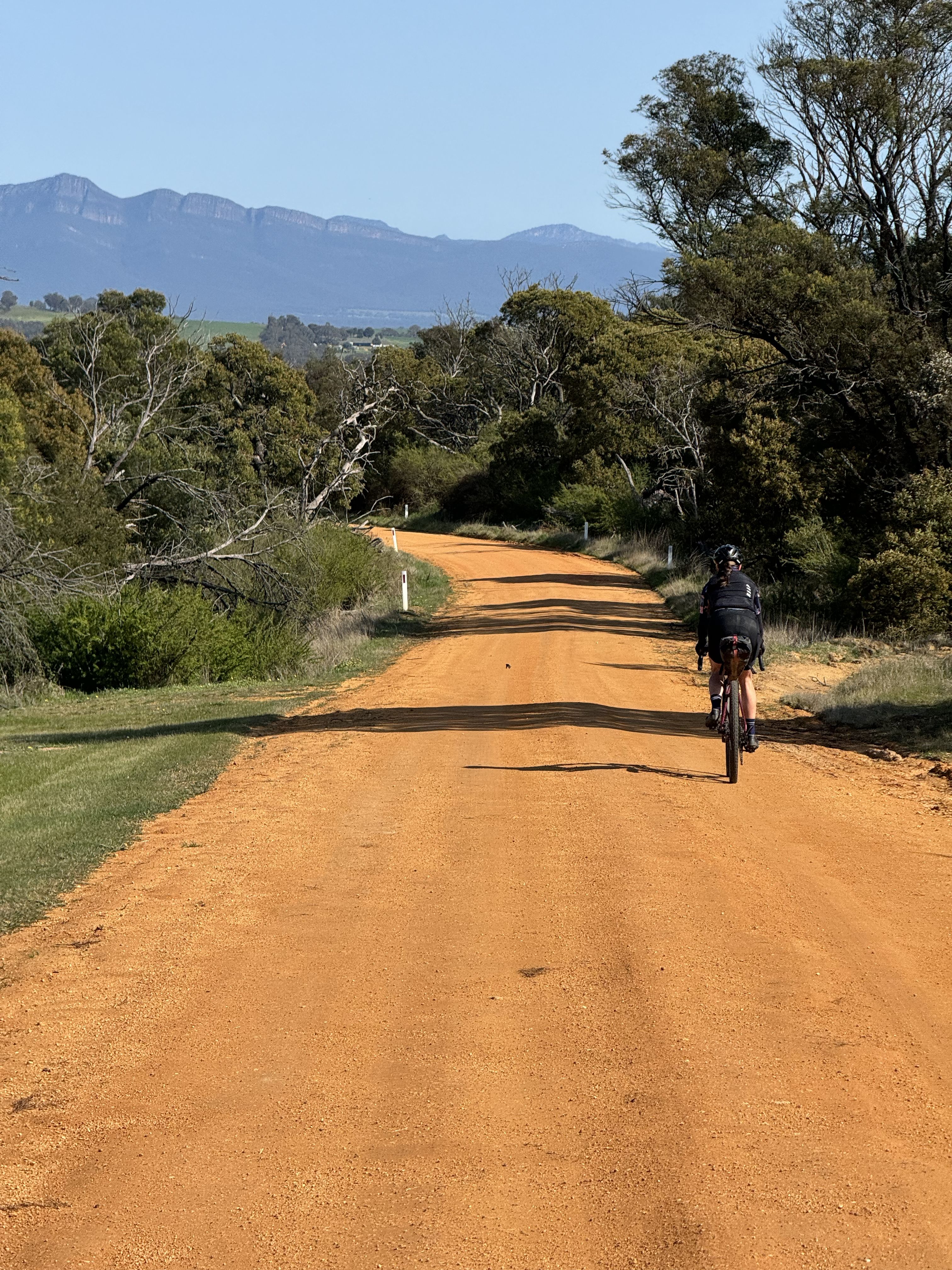
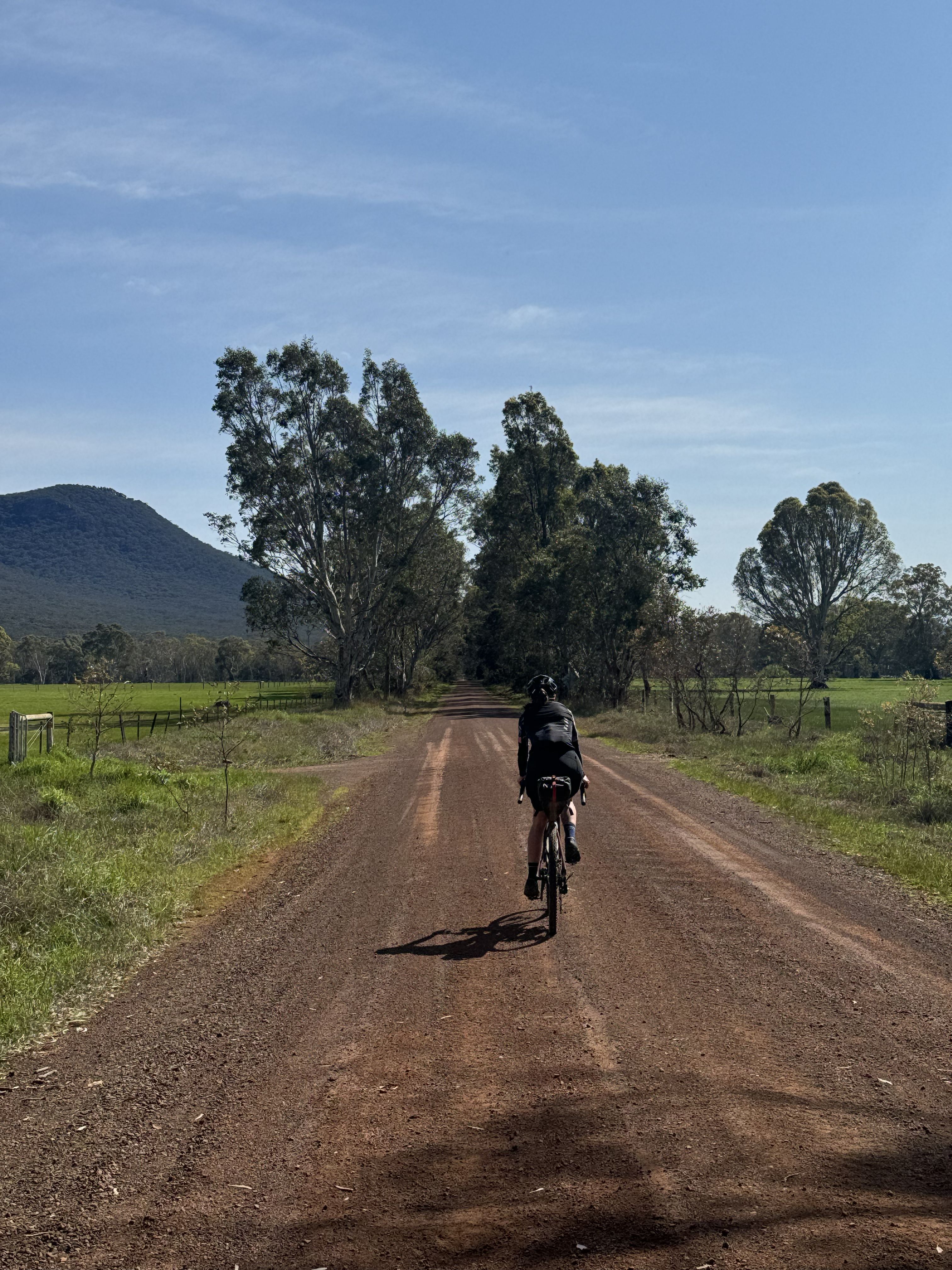
Post breakfast and only 4km in we had our first taste of gravel with rolling hills, farmland and the grampians squarely in our sites.
At 25km we encountered the Moyston General Store and were ready for second breakfast only to discover that unfortunately, being a public holiday, the general store was closed.
The overnight Moyston Sports Ground had toilets and tank water available which I was able to treat and subsequently consume.
Moyston to Dunkeld
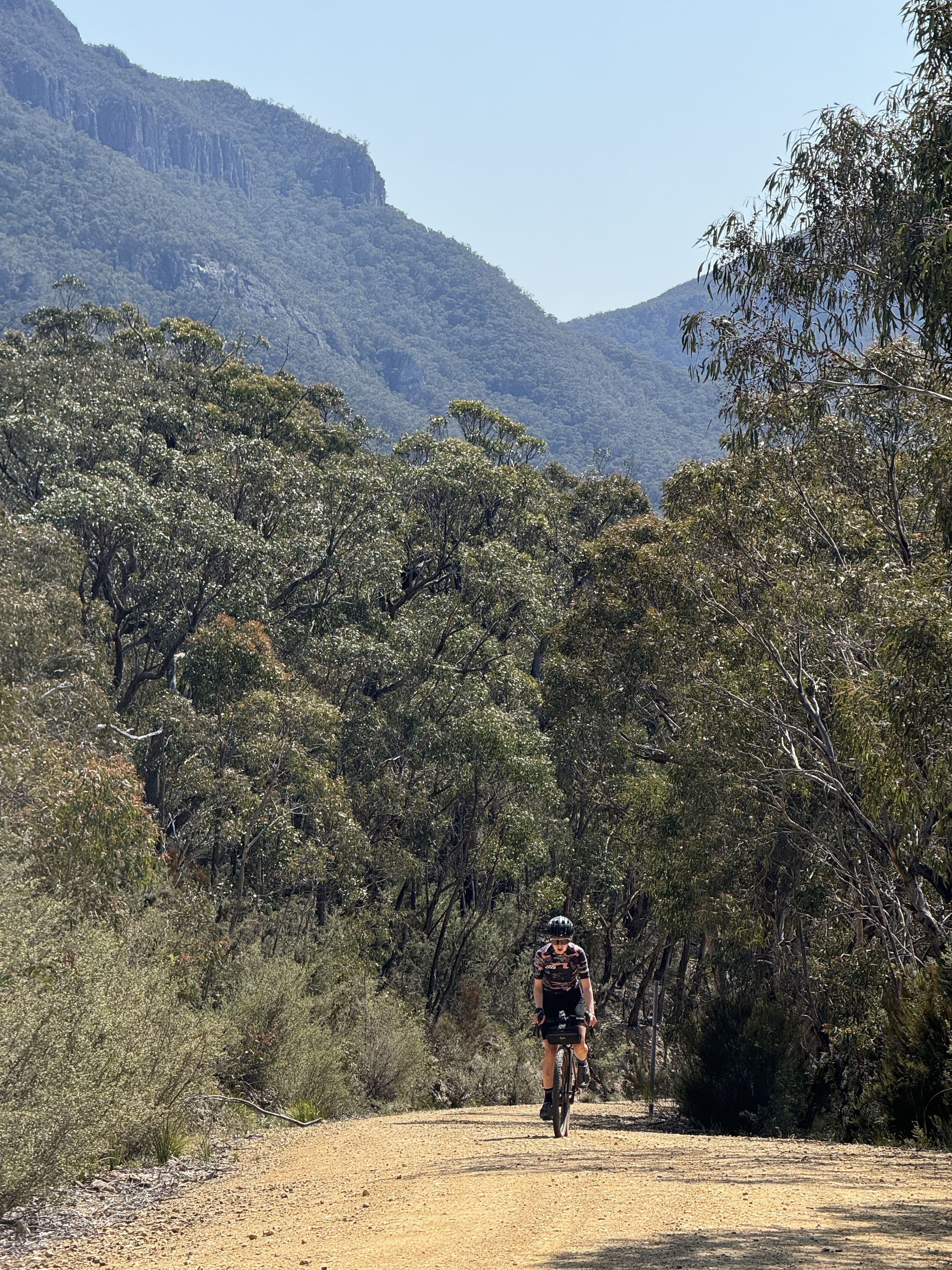
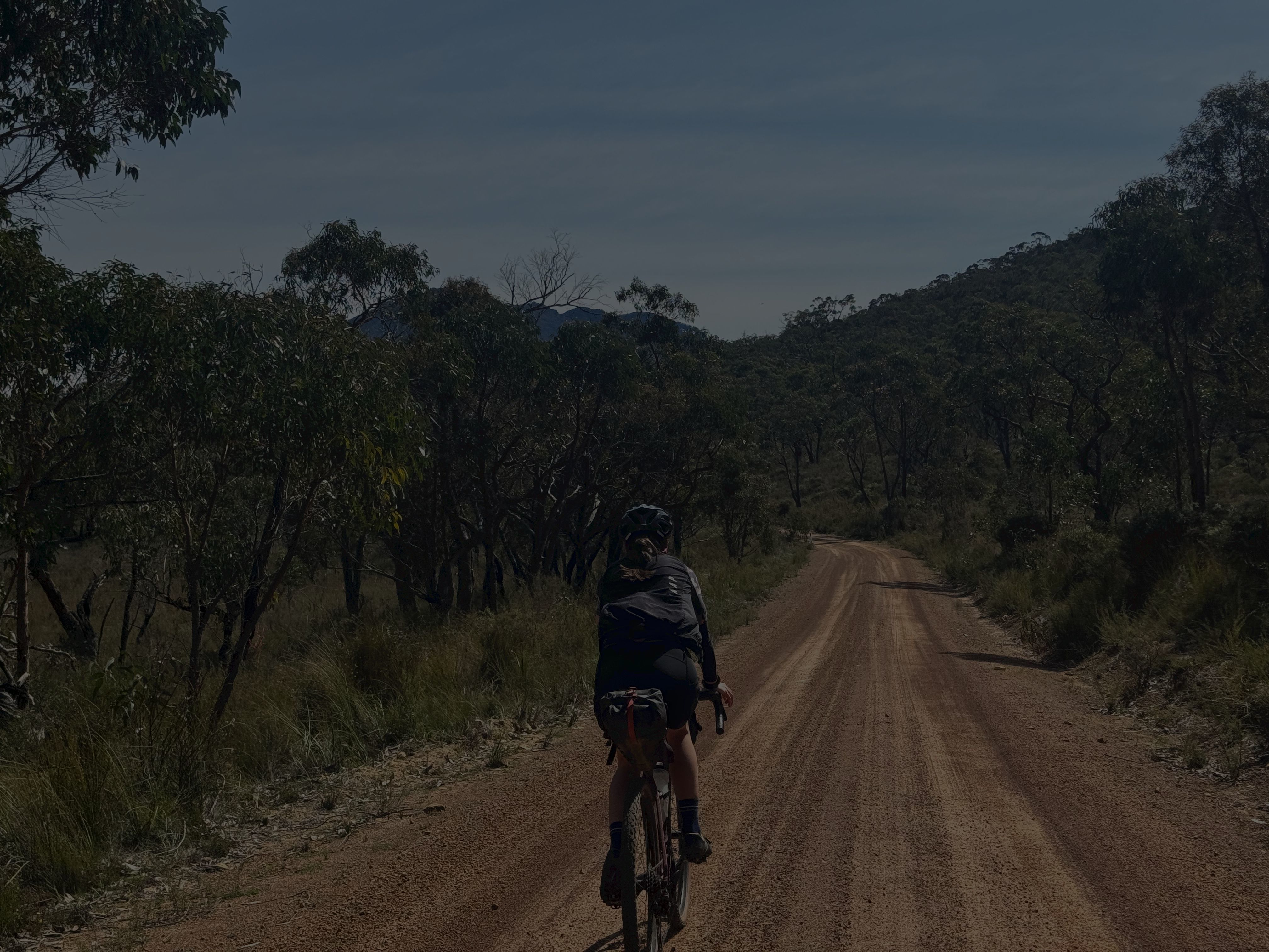
Some fast tarmac out of Moyston led us along a slightly sandy (very ridable) section leading into Mafeking Rd and the first major challenging climb of the tour.
An 8% average over about 5km with some very steep sections had us well and truly warmed up.
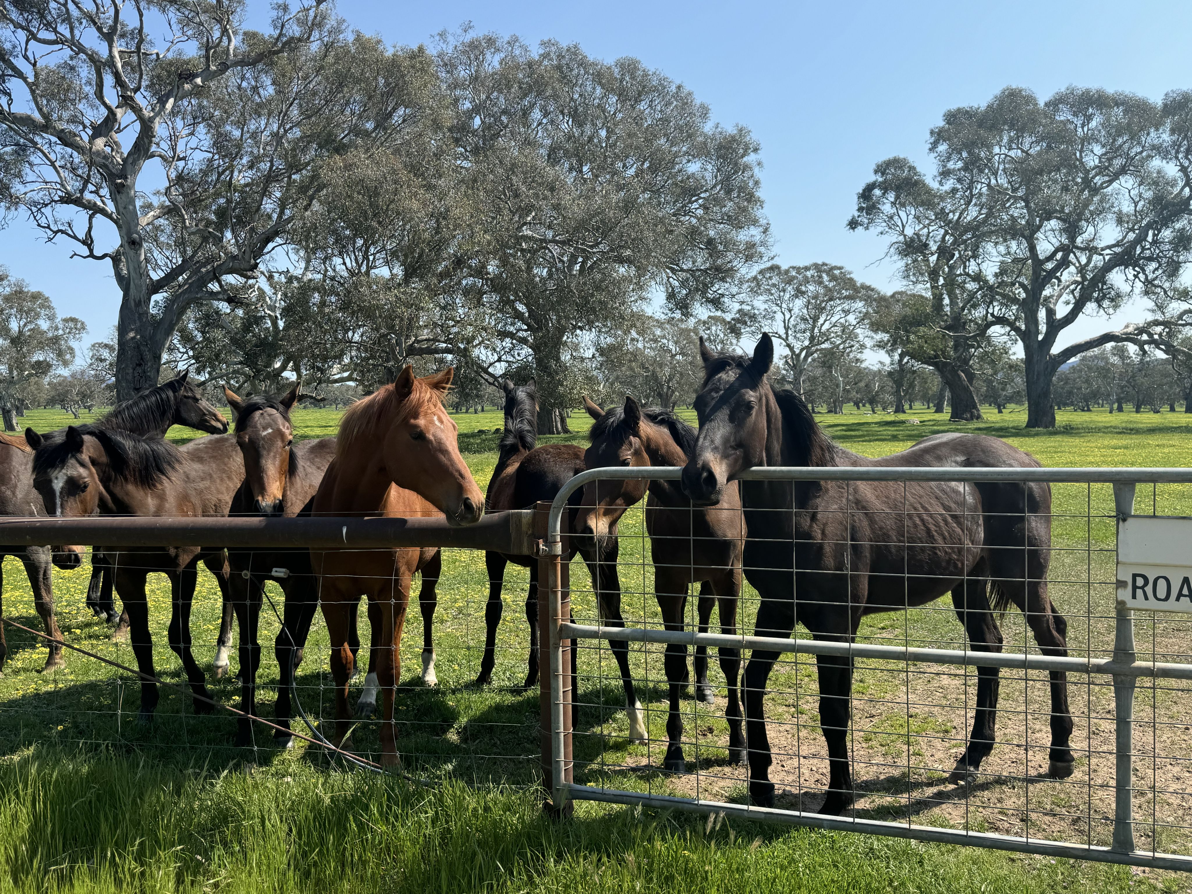
Cracking gravel roads along lush, green farmland, curious livestock and incredible views were the theme prior to arriving in the cosy township of Dunkeld via the arboretum.
Dunkeld
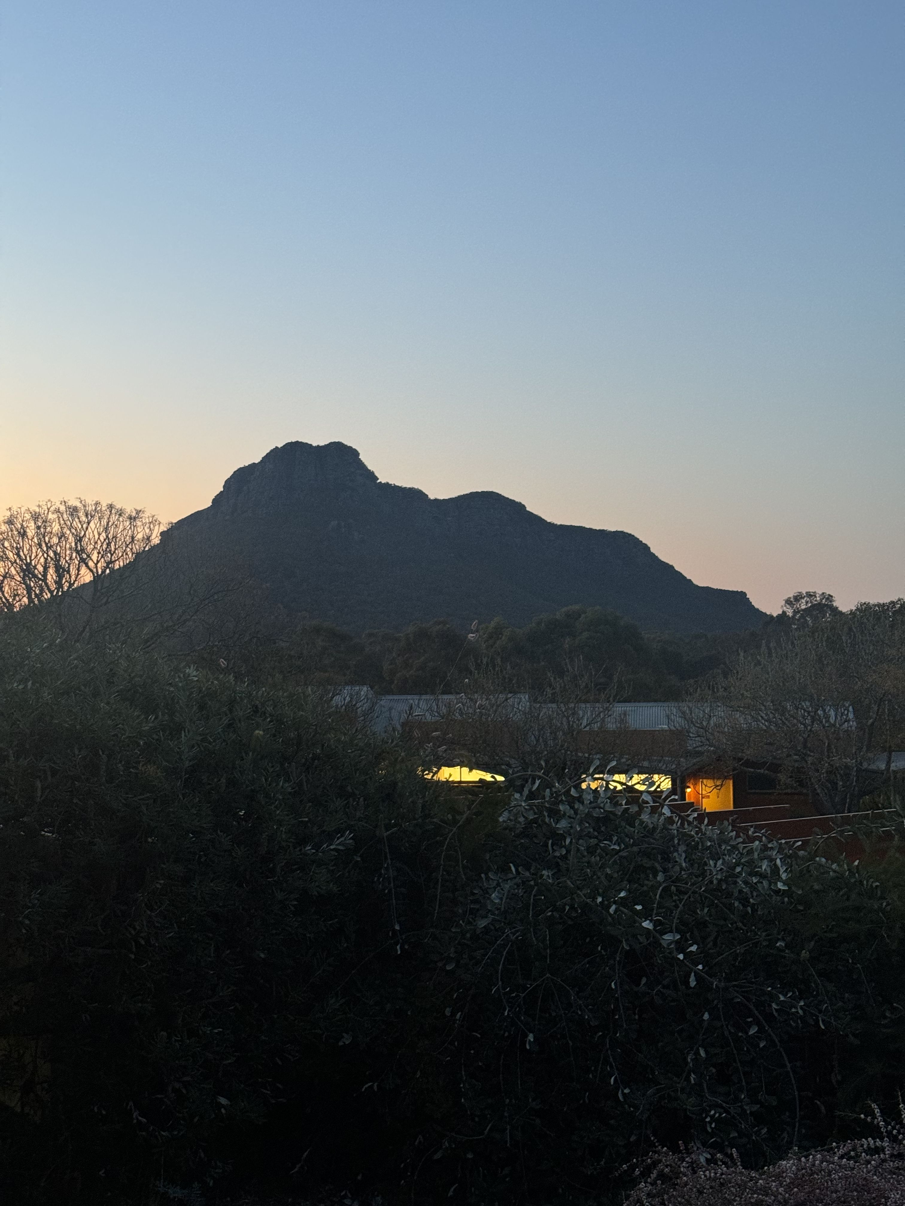
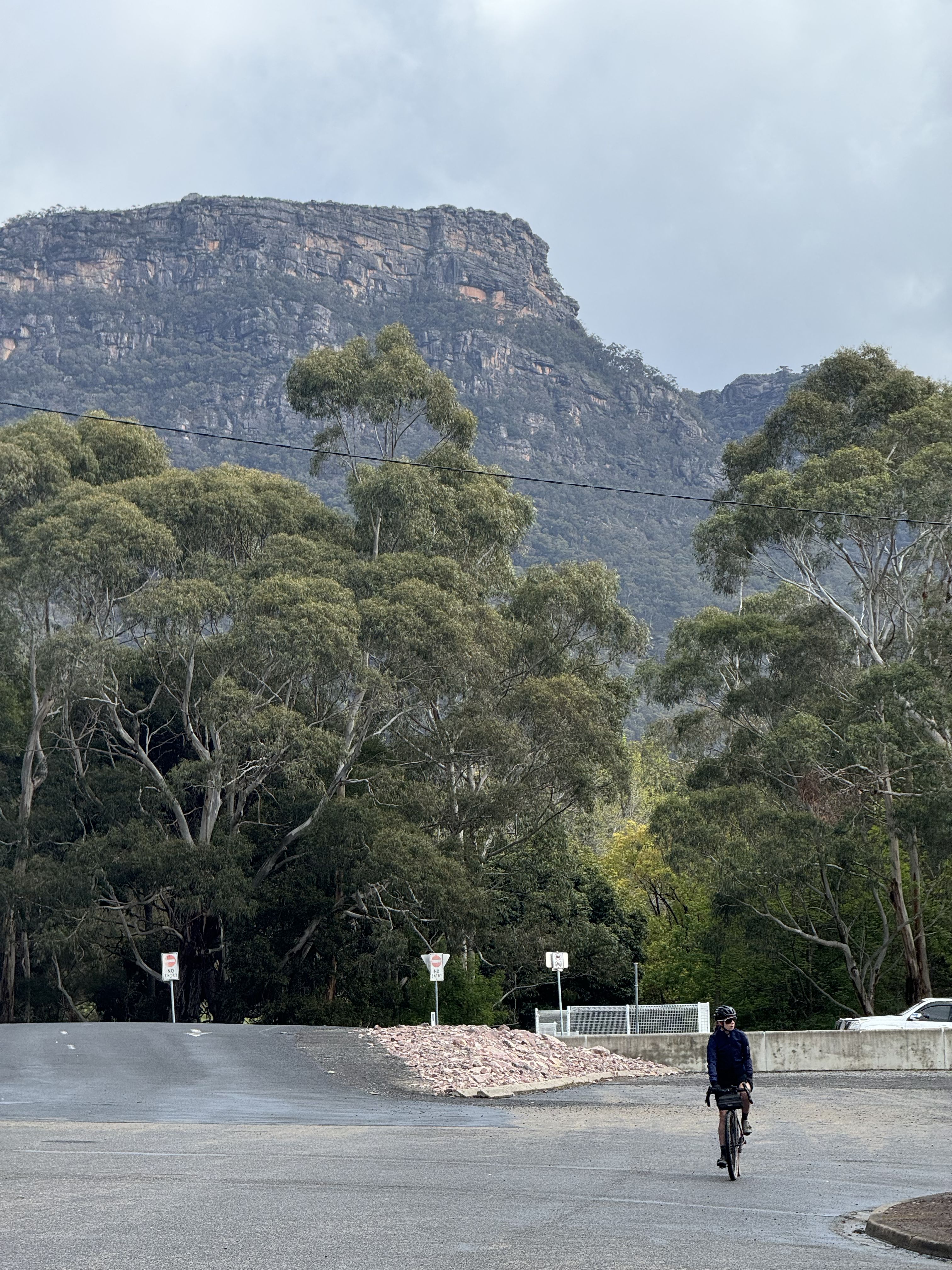
Dunkeld is a gorgeous little town on the southern tip of the Grampians nestled in the shadow of Mt Sturgeon.
Mainly because we left our booking late and there was no other accommodation left, we were forced to treat ourselves to a lovely room at the Royal Mail Hotel which unbeknownst to us is regarded as somewhat of an institution, together with it's attached restaurant's: The Parker Street Project and the more up-market Wickens (famous for growing their own produce).
Other great food options include Izzy's Cafe which provides casual meals & take away that are exceedingly good as well as the Dunkeld Old Bakery and Cafe which serve up freshly baked danish, scroll and other breakfast items every morning together with lovely coffee.
If you get in early enough, there's plenty of accomodation in Dunkeld by the way of AirBNB or Booking.com as well as the Dunkeld Caravan Park for a more economical option.
There's not much in the way of groceries or a general store, although the Mobil Service Station does provide basic supplies as well as a pharmacy in town.
Ararat
Ararat
Roads to Moyston
Roads to Moyston
Summit of the main climb
Summit of the main climb
Mt Sturgeon as viewed from The Royal Mail Hotel at night
Mt Sturgeon as viewed from The Royal Mail Hotel at night
Roads to Moyston
Roads to Moyston
Curious livestock
Curious livestock
Roads to Moyston
Roads to Moyston
Roads to Dunkeld
Roads to Dunkeld
Roads to Dunkeld
Roads to Dunkeld
Roads to Moyston
Roads to Moyston
Roads to Dunkeld
Roads to Dunkeld
Approaching the main climb
Approaching the main climb
Day 2: Dunkeld to Halls Gap
Dunkeld to Strachan Campground
Upon waking, the Dunkeld Old Bakery & Cafe had our names written all over it in the form of its home-made cinnamon scrolls.
With our mouths satisfied, we pointed our bikes towards Mt Sturgeon and begun pedalling soon immersed in farmland at the gateway to the inner grampians.
We soon found ourselves in dense scrub competing against a stiff headwind along Bullawin Rd, stopping for the occasional glance back of the views from which we came.
Glenelg River Rd beckoned and was to be the main thoroughfare of the day.
We were advised that the Chimney Pots Walk (3.7km) is only a slight detour off the intersection of Bullawin Rd & Glenelg River Rd that offers spectacular views without the crowds of the Grampians. We missed this unfortunately but it sounds like a wonderful option.
Before long we arrived at Strachan campground where we had planned to sit down and have lunch which we purchased & stashed from Izzy's Cafe the day prior.
Strachan Campground to Halls Gap
Getting to Strachan Campground involved a slight detour off Glenelg River Rd and onto Sawmill Track which was a pleasant deviation with two very light water crossings and gravel that is slightly more technical.
Strachan Campground is a fantastic place to refill your water bottles as there isn't much beyond this point. (Always remember to treat your water).
Once turned back onto Glenelg River Rd, the headwind's intensity increased and the roads straightened, reinforcing its strength.
Upon reaching Boreang Campground we were informed (via bike computer screech) that the main climbing challenge of the day was set to begin.
Roughly a 5km climb at an 8% average grade and I can't remember the grade dipping under that even once for the entire climb.
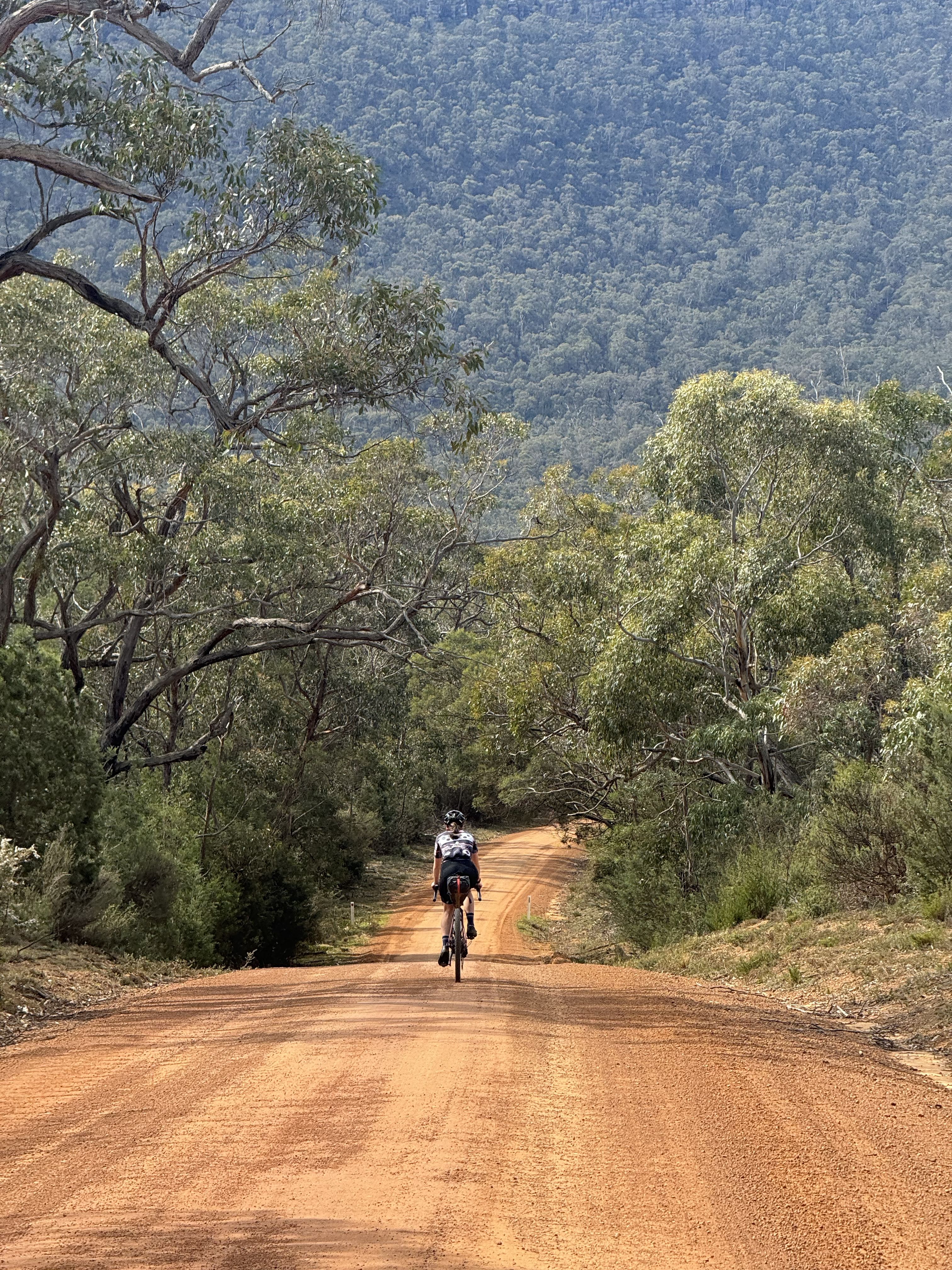
Despite the challenging nature of the climb, you can expect to receive wonderful views to your right over the Grampians as you ascend.
Once at the summit of the climb, we were treated to the grand tarmac descent of Mt Victory Rd which follows a similar grade downwards.
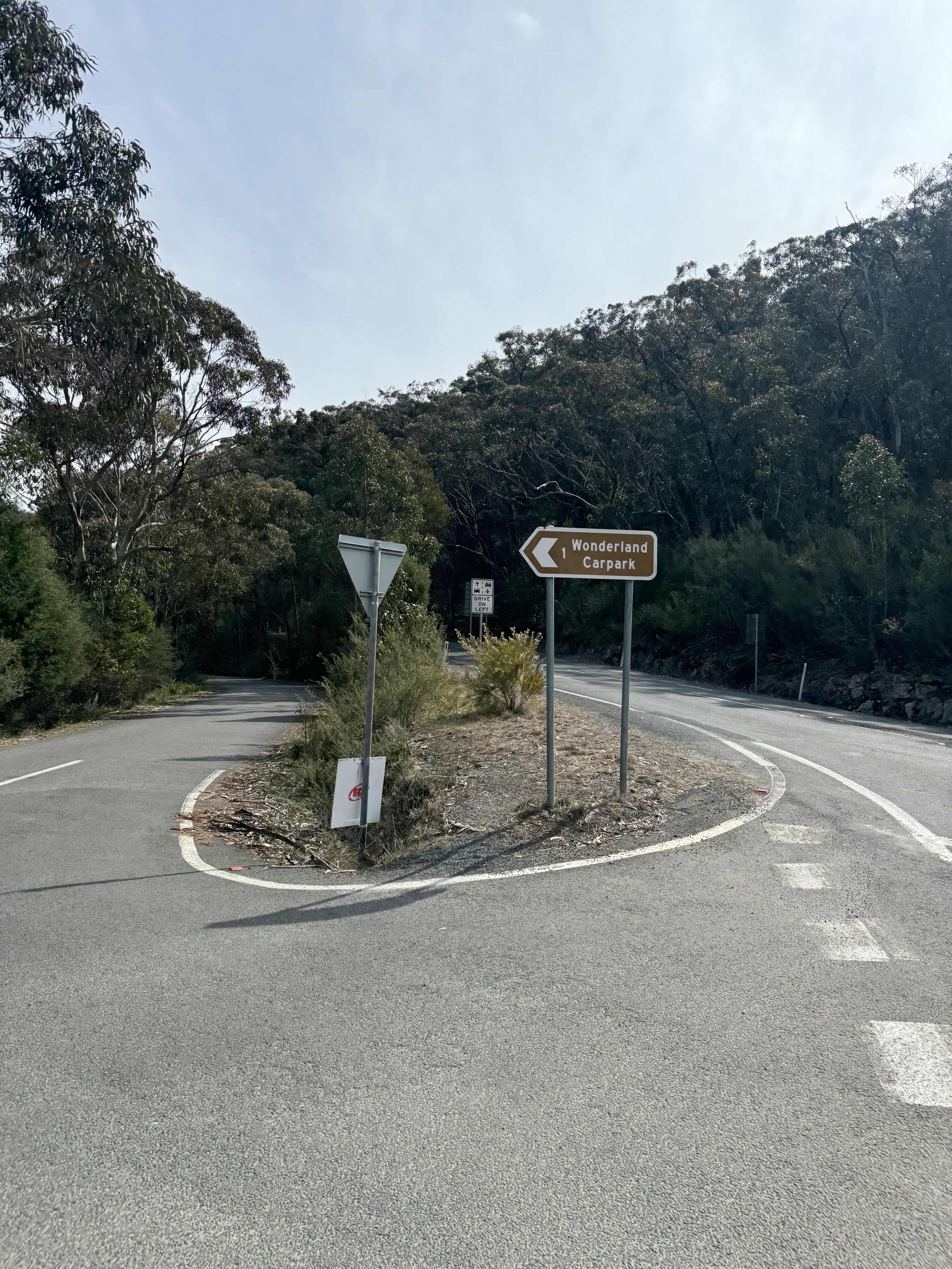
Just after the 85km mark we reached a roundabout signifying a junction to Halls Gap or The Pinnacle Hike (at the rear of Wonderland Carpark).
The Pinnacle Hike is likely the most popular attraction of the Grampians National Park and whilst we did investigate, we weren't game enough to leave our bikes unattended for an out and back hike.
A further short descent later and we were treated to an early afternoon meal & coffee in Halls Gap with enough time left to check-in to our motel and catch the last half of the AFL Grand Final.
Halls Gap
Halls Gap is a busy little town nestled in the centre of the Grampians and is the central hub for young families & tourists alike, looking to explore the area.
For these reasons, Halls Gap doesn't quite have the same vibe as cosy Dunkeld, however in terms of re-supply and dramatic scenery, it has everything you could desire.
We stayed at The Grampians Motel (approx. 5km from town), again not by choice but lack of availability due to our late booking. If you are looking for an affordable option, this is terrific and it has a very casual restaurant attached which is open for dinner and sometimes breakfast dependant on whether they can find the staff.
In terms of accomodation, there is a plethora of rooms available via AirBNB, Booking.com or the Halls Gap Caravan Park provided you organise with plenty of time in advance.
In terms of meals, I'm not sure I would expect anything with a hat or three given the young family and tourist vibes, however there is a cafe & pizza place in town as well as a few casual-type bistros & taverns that are more than suitable for a meal.
There is also a general store in Halls Gap which opens until around 7.30pm and will cater for most basic needs.
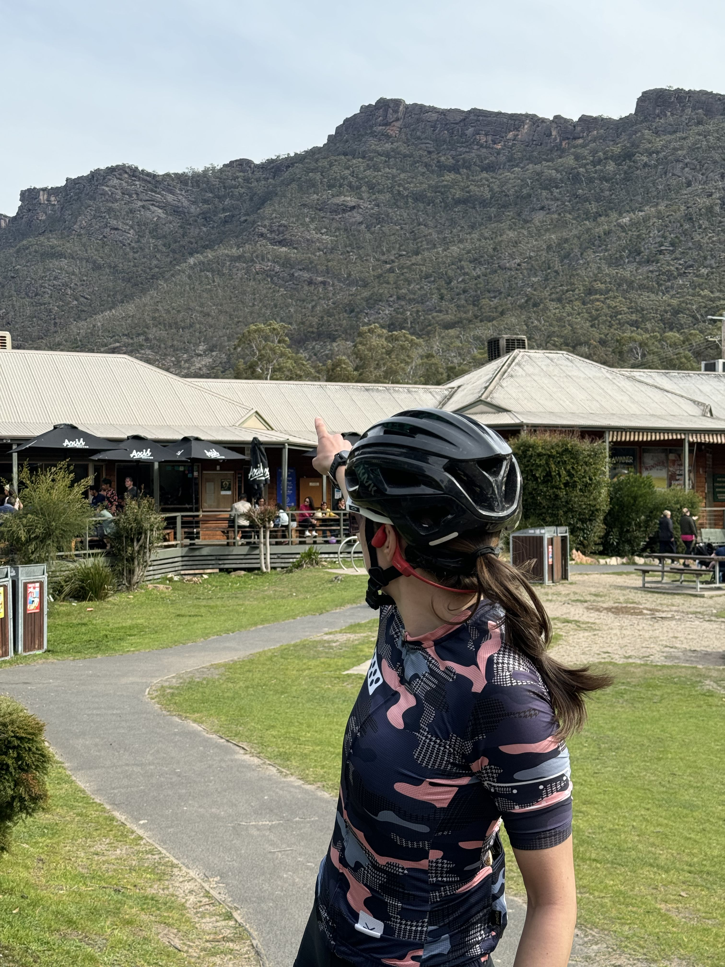
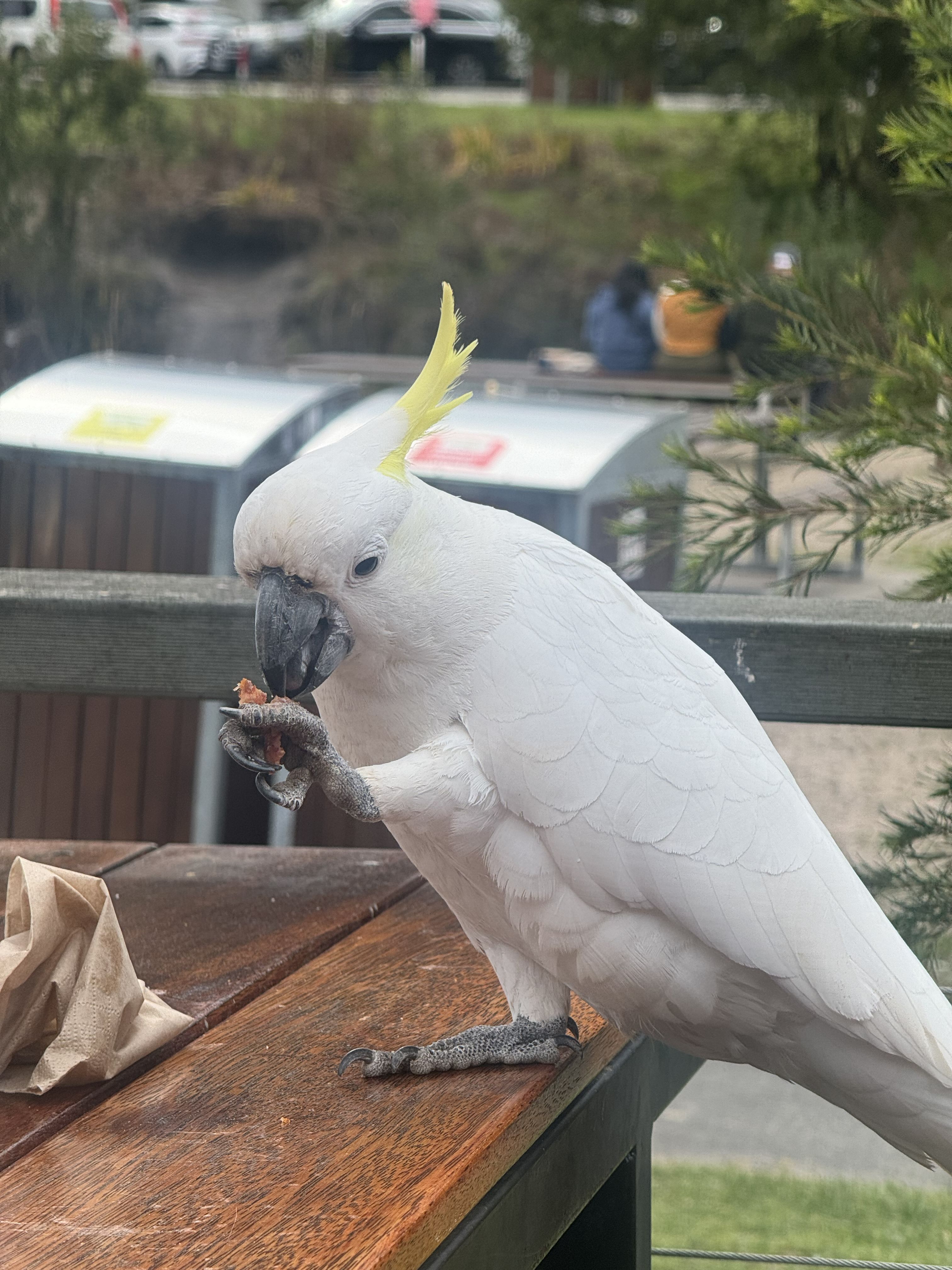
What you will find in Halls Gap is plenty of kangaroos and birdlife ready and waiting to share whatever it is that you are eating at the time.
Dunkeld Old Bakery & Cafe
Dunkeld Old Bakery & Cafe
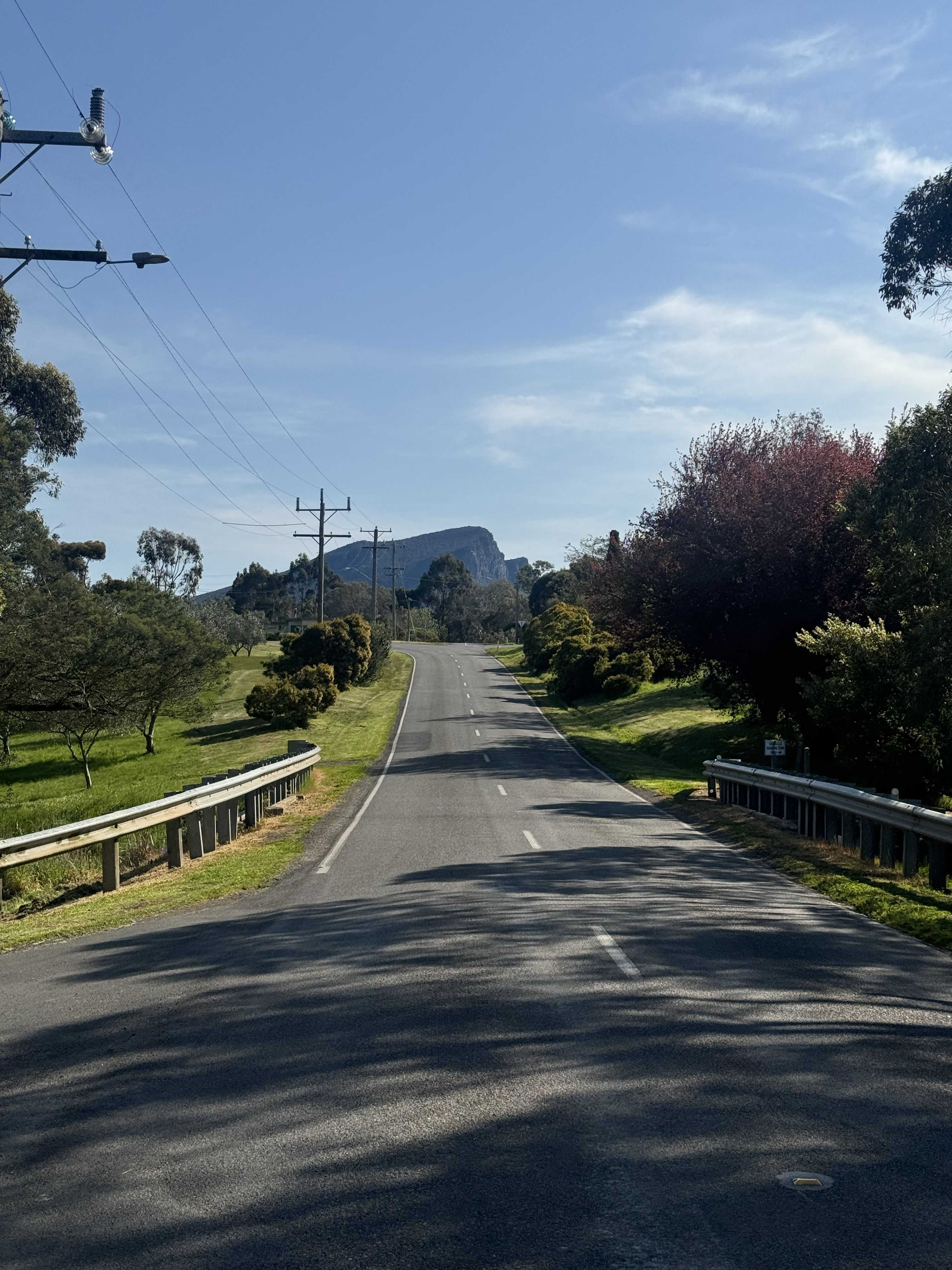
Leaving Dunkeld
Leaving Dunkeld
Approaching Strachan Campground
Approaching Strachan Campground
Approaching the main climb
Approaching the main climb
Wonderland Carpark
Wonderland Carpark
Halls Gap
Halls Gap
Halls Gap bird life
Halls Gap bird life
Day 3: Halls Gap toArarat
Lake Bellfield
Whilst our original plan was to add-on a loop to the north side of the Grampians, heavy rain was forecast so we were to start our day late and cut the proceedings short.
To be honest we were quite relieved for an early day as the two days prior had expelled more energy than anticipated (not unusual) and a short day to complete the trip felt like the perfect way to finish things.
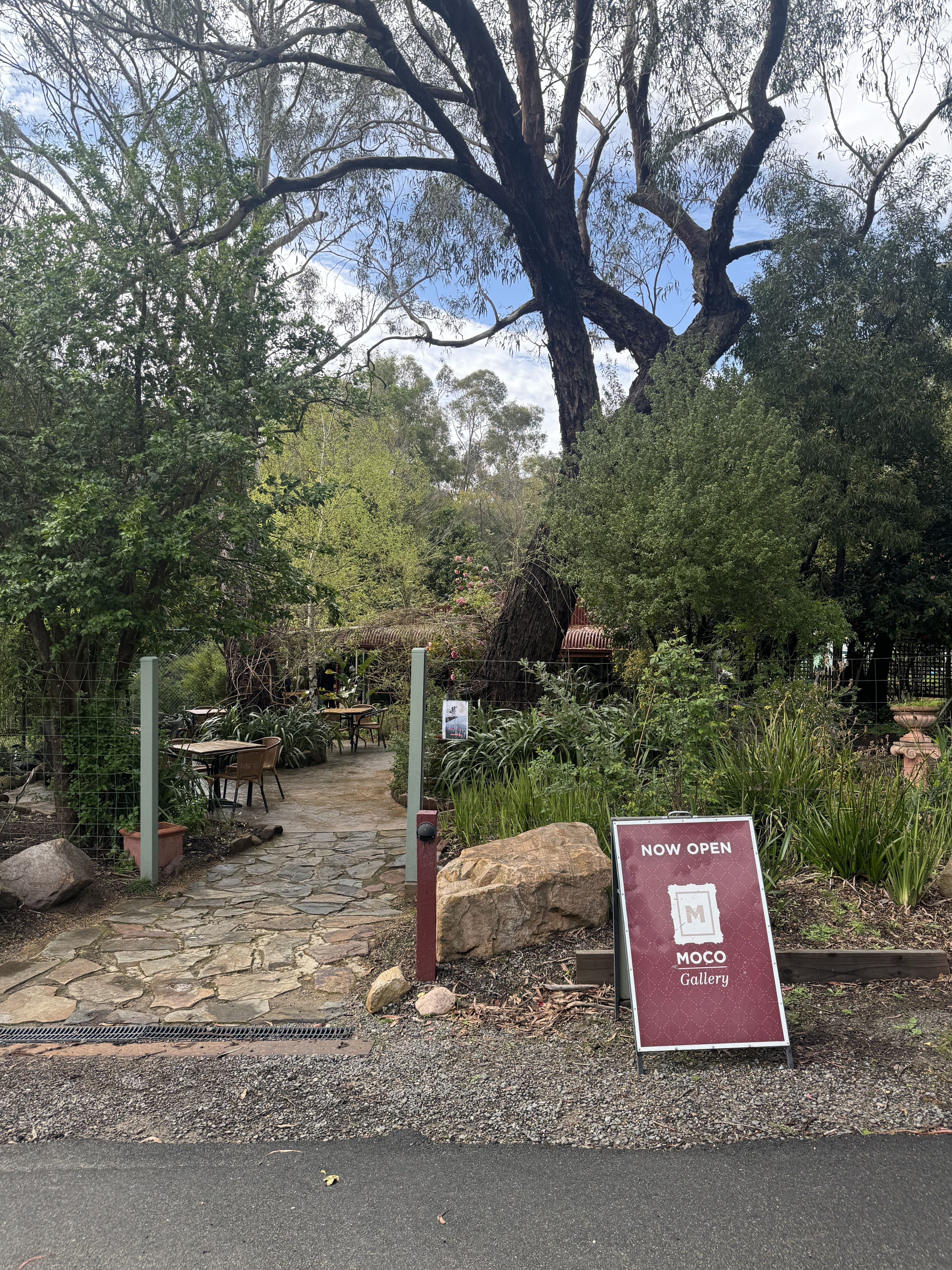
The rain stopped around 9.30am and we found a cafe in Bellfield that opened at 10am by the name of Adventure Cafe. The venture moonlights as a mini golf course which surprisingly seemed to appeal to demographics other than just young children. Alas, we were to give the putting a miss on this occasion.
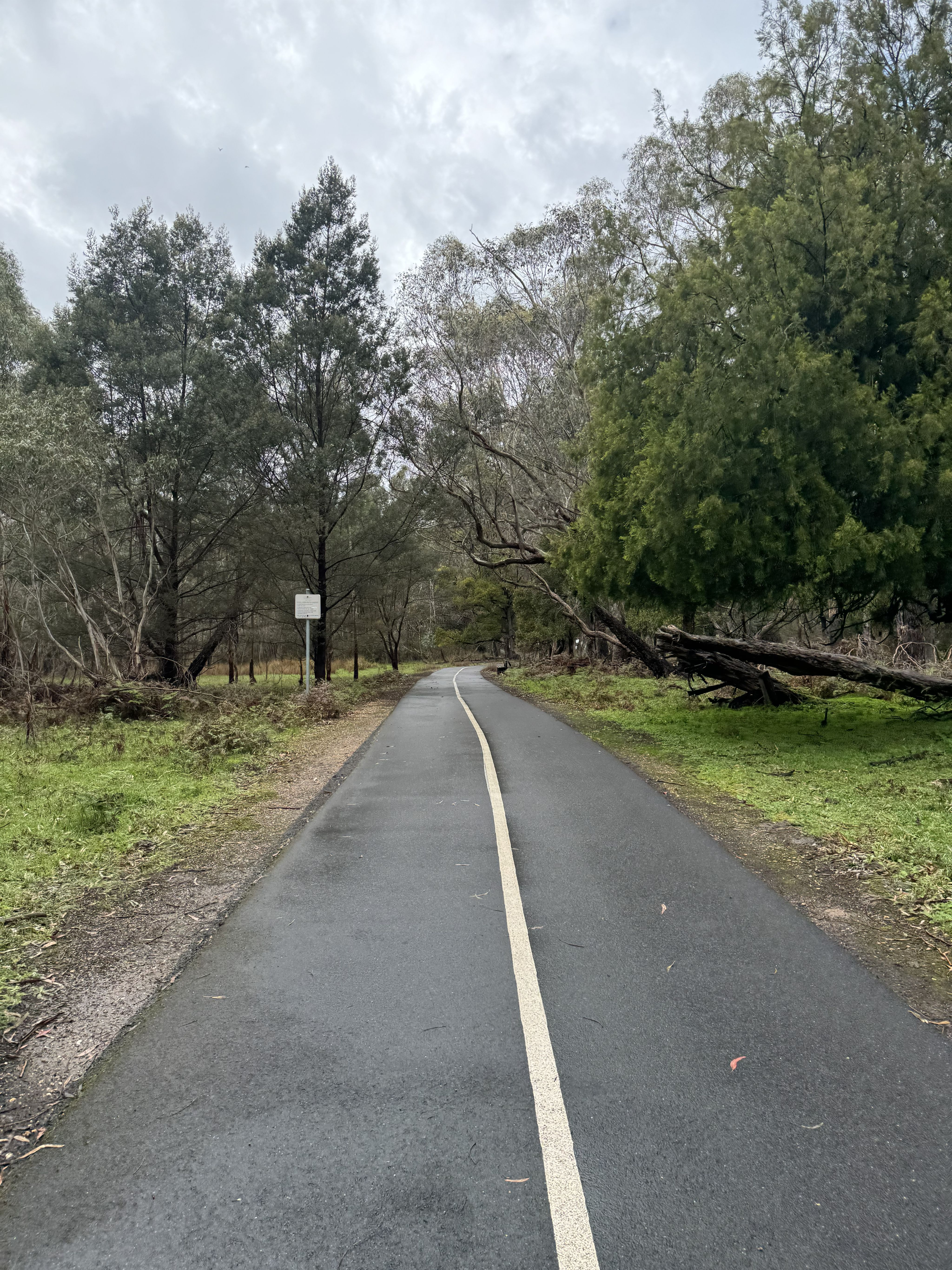
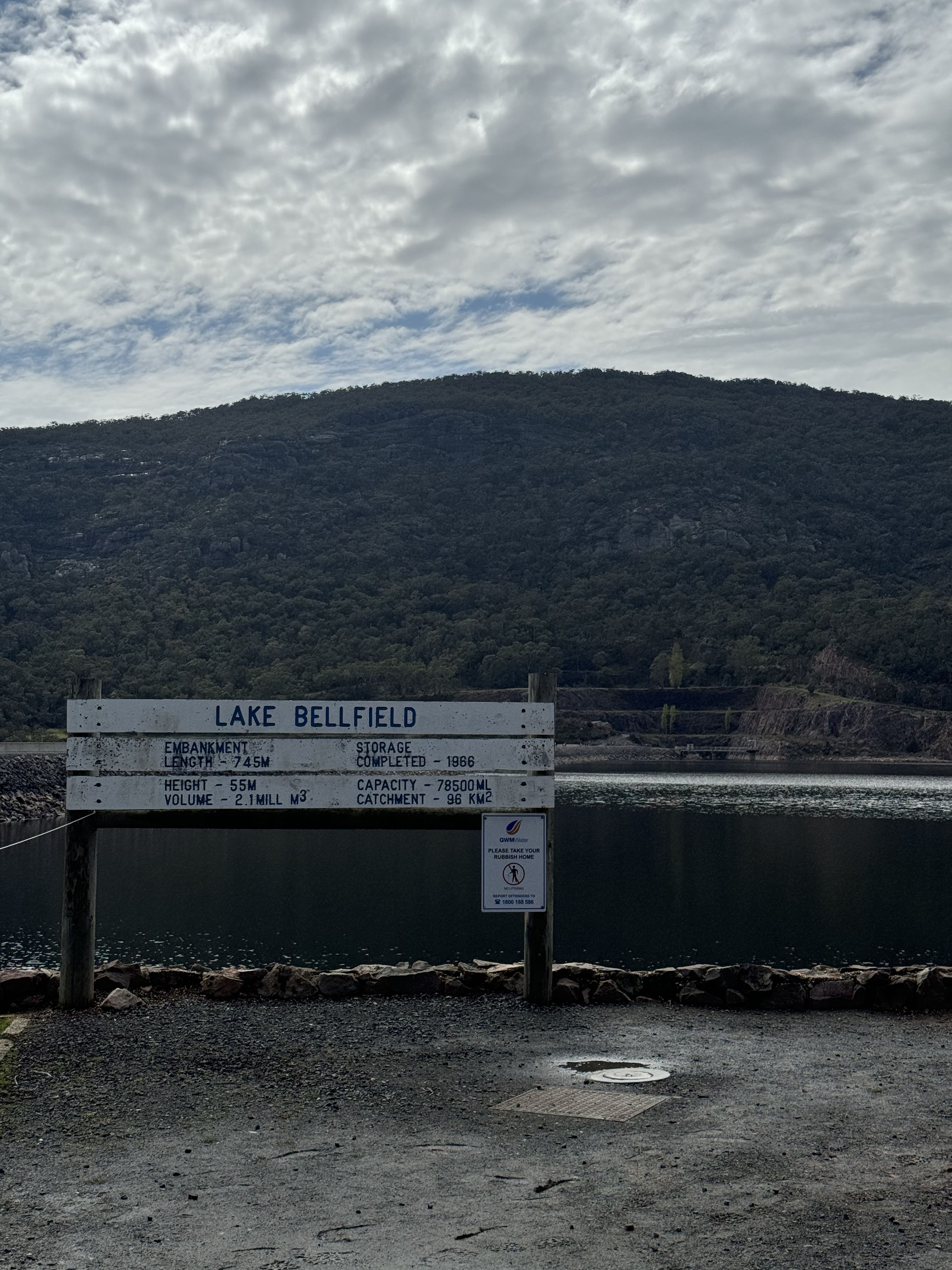
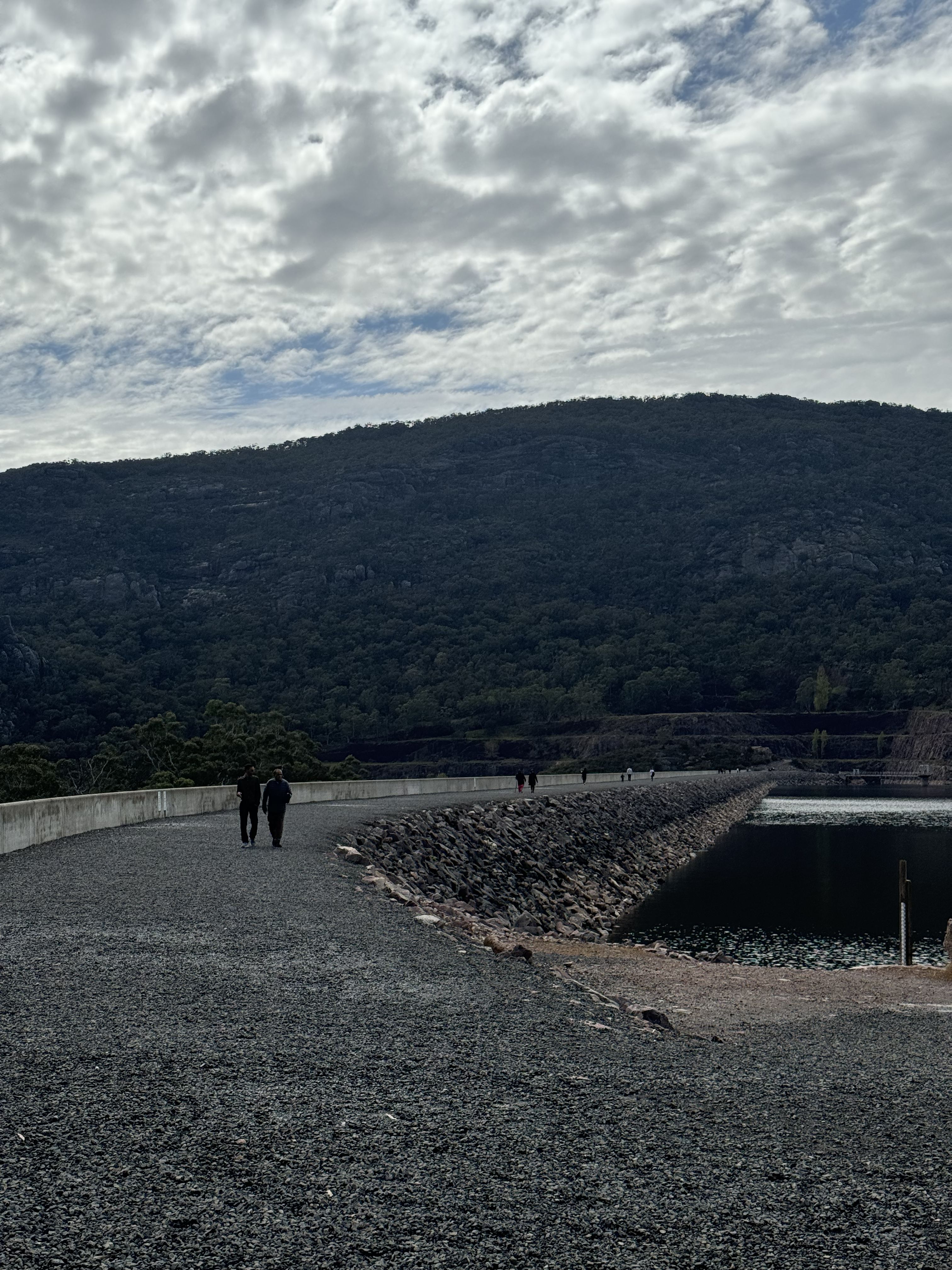
A short pootle up the road on the bike path that runs parallel to the road all the way from Halls Gap and we arrived at Lake Bellfield which is an expansive reservoir and the main source of supply for the Wimmera Mallee Pipeline System and also used for recreational activities.
Lake Bellfield To Ararat
The original plan was to take the Redman Track and turn off with a detour into Pomonal however, a friend warned us that this was a fairly rough and steep track so we decided to continue on the current trajectory into Ararat.
The Redman Track was a pure delight until the climb (manageable at first), but entered grades of 17% for a solid 2km with some slightly more technical surfaces after the junction of Mount Cassel 4WD track (the would be turn off to Pomonal).
Much wheezing later, it was time to descend back down and it was fun. A few sharp turns and a few straight, long runs to really get the speed up on some smooth, fast moving gravel which ejected us into the country side and some seriously breath taking views looking back into the Grampians.
Canola crops blanketed the fields as we continued onwards through farmland and a mixture of gravel roads with rolling hills becoming more prominent.
One last gasp on Better Route Rd and we were to say goodbye to gravel for the last time and hello to Ararat - Halls Gap Rd which asked of us one final ascent so that we might observe Ararat from elevation.
Thankfully our car was still where we left it (out the front of the Ararat Motor Inn), we set in for the long drive home.
Grampians Motel
Grampians Motel
Beside Lake Bellfield
Beside Lake Bellfield
Redmans Track
Redmans Track
Views back to the Grampians
Views back to the Grampians
Canola fields
Canola fields
Adventure Cafe & Mini Golf
Adventure Cafe & Mini Golf
Redman Track
Redman Track
Bikepath out of Halls Gap
Bikepath out of Halls Gap
Lake Bellfield
Lake Bellfield
Lake Bellfield
Lake Bellfield
Redman Track Climb
Redman Track Climb
Redman Track Descent
Redman Track Descent
Roads to Ararat
Roads to Ararat
Thanks for reading!
This format of presentation is an effort to make bikepacking and cycling in general more accessible to those who endeavour.
Got any questions or need help loading the route?
Get in touch with us on instagram, @bikeroutes_au
